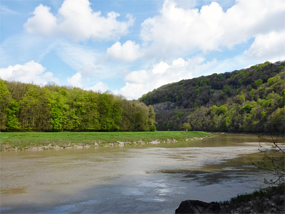
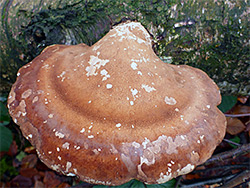
Ban-y-Gor Woods, a nature reserve and part of a site of special scientific interest, stretches one mile below a north-facing slope along the east bank of the deep valley of the River Wye, inside a wide bend and just north of a narrow ridge, on top of which is the tiny settlement of Lancaut. The valley sides south of the ridge are also wooded, contained within the larger Lancaut Nature Reserve, which because of the increased sunlight is home to a much greater variety of plants compared with Ban-y-Gor, as in this latter location the forest floor is shady, cool and moist all year, and the soils are acidic; good conditions for ferns and mosses, but less suitable for wildflowers, and most of the few species here are common, including wood sorrel, wood anemone, wild garlic, wild madder, foxglove and bluebell.
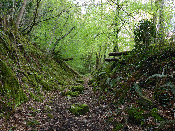
The woodland is traversed by a wide, 0.7 mile path, descending relatively gently to a muddy beach beside the river, site of an old pumping station, and the only place with good views across the valley, as all of the remainder of the route is through the dense trees. Like the Lancaut nature reserve, the valley sides rise to a series of sheer limestone cliffs, the Ban-y-Gor Rocks, though these too are largely out-of-sight, above steep, overgrown slopes. It only takes about half an hour for the round trip to the river, and there is not much scope for off-trail exploration owing to the steep terrain and thick vegetation.
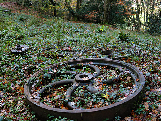
Entrance to Ban-y-Gor Woods Nature Reserve is along Lancaut Road, half a mile west of the B4228 junction in Woodcroft. Cars can be parked at a small verge at the beginning of the path, though the recommended start point is a larger parking area a quarter of a mile back, on the south side. The path immediately enters the woodland, passes a Gloucestershire Wildlife Trust noticeboard, then starts the descent, through tall, ancient, deciduous trees, a mix of oak, beach, ash and silver birch, plus some lime, whitebeam and yew. About a third of the way to the river the trees open out briefly at the site of an old, abandoned quarry, with a few stone and iron relics, including several large wheels. Beyond is a short rocky section through a V-shaped cutting, before the track reaches the river level, at a permanently muddy area next to a rusty pipe, where the onwards route becomes less well-defined. Further north, the narrow river bank is overgrown and the path rather uneven, staying right beside the river for a few hundred feet to the site of the former pumping station, marked by three concrete tanks and other debris. This is approximately at the far end of the nature reserve, though a path of sorts does continue for another half a mile, before meeting a wider track that leads on into the adjacent woods.