Like Edgehills Bog, one mile northeast, Laymoor Quag is a patch of wet heath within the Forest of Dean, and was once part of a much larger area, the remainder having been eradicated, partly by coal mining and other industrial activities, and partly by establishment of timber plantations. The majority of the mines had closed by the 1950s, together with the associated railway lines, though all the trees remain; the heath is situated right at the edge of the forest, bordering Cinderford, on the site of a major railway junction, once crossed by tramways, mineral lines and a passenger line. The name is derived from Laymore Quay, a minor medieval earthwork at the center of the heath, which has been protected as a nature reserve since 1982.
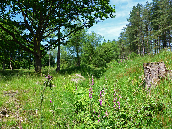
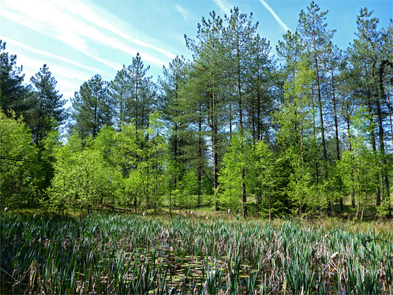
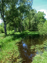
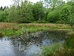
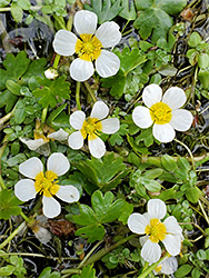
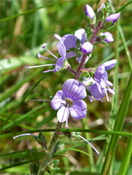
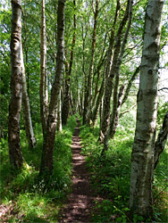
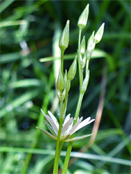
The 8.6 acre reserve is crossed by various paths, all following old rail lines, including a straight, elevated route lined by neat rows of closely-spaced trees on each side - along an embankment, originally carrying the passenger line, operated by Severn and Wye Railway, later Great Western Midland Joint Railway. Elsewhere are dry forest, boggy and partly flooded woodland, dry and marshy grassland, and a few ponds, together providing habitats for a good variety of plant and animal life. Heath-favouring plants include common marsh bedstraw, lesser spearwort, sneezewort, tormentil, marsh marigold, lousewort and petty whin (an uncommon, gorse-like shrub, found close to the eastern boundary fence); the majority of plants here are relatively common. The paths are mostly lined by trees, though the greatest plant variety is found in the grassier, more open areas, some parts of which are densely overgrown, and/or boggy.
The reserve, which is not obviously signposted, is reached from the south along Valley Road, or from the north starting at a parking area along Forest Vale Road, at the north end of Forest Vale Industrial Estate. These two points are linked by a 0.8 mile path, which intersects the main east-west route, following the old passenger rail line, while a third path, also formerly a railway, connects these two to the northwest. The passenger line embankment approximately divides the reserve into two halves; the southern section is boggier, including several ponds, and is quite overgrown in summer, while the northern part is generally drier. Along the margins are a mix of woods, both coniferous and deciduous, and other grassy areas.