Stenders Quarry, near Mitcheldean at the north edge of the Forest of Dean was established late in the 19th century to supply the nearby Wilderness Cement Works, and was in use for around 20 years, being abandoned soon after World War I since its German-manufactured equipment was too difficult to maintain. The site has long since been reclaimed by trees, shrubs and calcareous grassland, and was designated a nature reserve in 1974.
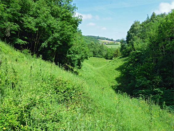
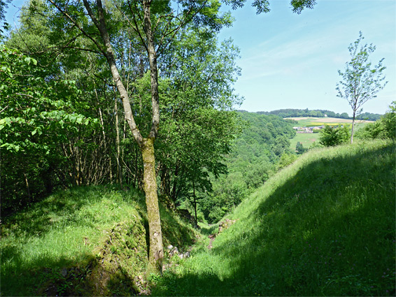
The excavations were into thin, inclined, greyish layers of sandstone and limestone, from the Lower Limestone Shales, here right at the boundary with the later Black Rock Limestone, and also the underlying Old Red Sandstone, which forms the higher ground on the east side of the reserve, above the partly exposed rocks of the quarry. The main excavation is 500 feet long, now a U-shaped gully with sloping grassland on the west side, and a steeper, more shady mix of grass and bushes to the east, about which is a belt of oak, elm and ash trees, adjoining another patch of west-facing grassland to the north.
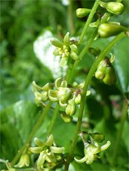
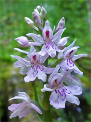
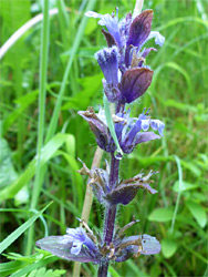
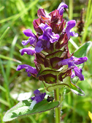
The quarry is additionally recognized as a site of special scientific interest, on account of the exposed rocks around the strata boundaries, and because of the fossils that have been found here, including shellfish and sea lilies. The reserve is also notable for insects, birds and wildflowers; although it contains no especially rare plant species, there are a large number of more common types, most notably common spotted orchid, yellow-wort and autumn gentian. Wildlife that may be seen include bats, lizards, adders, stoats, rabbits and foxes.
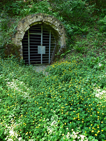
The road past the quarry ('The Stenders') is quite steep, enclosed by trees, and has very little parking space. The closest spot, accommodating just one vehicle, is in front of a locked iron gate on the north side of the road, about 200 feet west of the entrance to the reserve, which is marked by a gate, notice and flight of steps. Beside this is a flat area leading to the gated entrance of a tunnel, part of the tramway system that once transported the excavated stone. The steps open out to the grassland, where one path leads into the quarry, ending beneath a rock face at the south end, while another climbs the steep bank to the east, and runs a little way through the trees. A loop can be made by climbing the hillside beyond the first path and traversing along the top of the cliff face. The ground in the quarry is rather uneven, due to logs and boulders, so care is needed when walking.