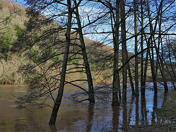
Scenery around Symonds Yat East, Herefordshire/Gloucestershire; steep, wooded, rocky slopes above the River Wye, crossed by various paths, one to the viewpoint of Symonds Yat Rock
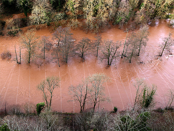
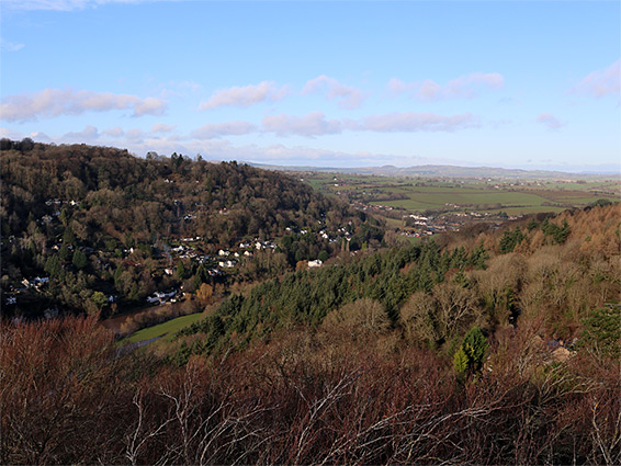
Symonds Yat is an ancient settlement in two parts, either side of the River Wye in south Herefordshire, just north of the border with Gloucestershire, at the mouth of one section of the Upper Wye Gorge. Upstream, the river flows briefly over open ground, near Goodrich, then becomes enclosed once more for another 8 miles before entering a much wider valley, extending to Hereford and beyond. 'Yat' is a corruption of Gate, describing the entrance to the gorge, while Symonds probably refers to some ancient individual.
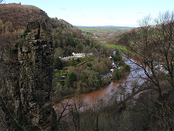
The two sections of the village, Symonds Yat West and Symonds Yat East, are linked only by a hand-operated cable ferry, the nearest road crossing (Huntsham Bridge) being 1.5 miles north. Both lie at the foot of steep, wooded slopes, rising over 400 feet, on the west side to the rounded summit of Great Doward and on the east to a narrow ridge, beyond which, just a quarter of a mile from the village is another section of the river, on the far side of a tight, U-shaped bend.
The most prominent point along the ridge is a treeless viewpoint, Symonds Yat Rock, and this provides a focal point for activities on this side of the river. Just to the south is a large car park complete with cafe and information centre, and from here start several paths, some looping through the forest to the south, on the rim of the gorge, others descending to the river.
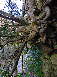
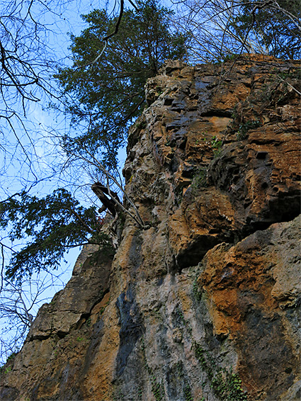
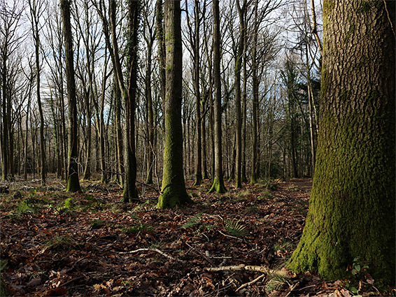
Besides the views, this region is also notable for the variety of trees and woodland wildflowers, and also for geological features, with a fair amount of exposed rock, including cliffs, caves and pinnacles. Parts of the slopes and hilltops, either side of the village, are within the Upper Wye Gorge Site of Special Scientific Interest, while all this area falls within the much larger Wye Valley Area of Outstanding Natural Beauty.
Symonds Yat Rock is reached by Grove Road and Woodland Road, which runs northwards from Coleford, over fields then through woods, along the narrow ridge and down the west side (Huntsham Hill), crossing the river at Huntsham Bridge and continuing towards Goodrich. The carpark, operated by Forestry England, is situated at the south end of the ridge, where the land widens abruptly, and is accessed by a one-way road, the exit being a separate route to the south. The parking area is partly built on the site of an Iron Age fort, and also close to the 8th century Offa's Dyke, though there is little trace of either, just some minor earthworks in the adjacent woodland. The rock is the most popular destination, at the end of a short path which heads northwards, across a grassy area and past the cafe, over the road on a wooden bridge and on to the viewpoint, an outcrop of limestone (from the Gully Oolite Formation) which makes up the uppermost portion of the cliffs hereabouts - the lower section is from the Black Rock Limestone, while above, underlying the extensive woodland, are several sandstone strata. Views from the overlook extend many miles northwest into Wales, and the place is additionally famous as a bird-watching site, with peregrine falcons, sparrowhawks, buzzards and goshawks amongst the species often visible.
Another short path forks off beside the road bridge, leading diagonally down a shady, moist, wooded slope to the river, en route passing several 'money trees', fallen trunks in which hundreds of coins have been inserted by visitors over the years. The path emerges to a car park at the south end of the road to Symonds Yat East, this the former site of Symonds Yat Station, along the disused Ross and Monmouth Railway (closed 1959). The old line provides a course for the southwards riverside trail, into the main part of the gorge; this reaches a rope bridge across the river after 1.3 miles, below Lady Park Wood, and continues towards Monmouth.
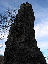
South of the village, the next path back up to the rim of the gorge is an unofficial route after a quarter of a mile, climbing a gully then meeting another trail south from the parking area, making a loop of about one mile. The upper reaches of the gully bisect a line of low limestone cliffs which can be followed, off-trail, along the base, passing several small caves and other photogenic formations. The northwards cliff leads to the most dramatic of such formations, a narrow detached spire named Long Stone or just The Pinnacle, popular with rock climbers.
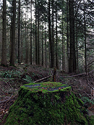
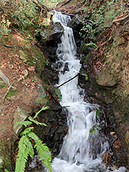
The trees south of the Forestry England carpark lie at the edge of an extensive forested area extending over 3 miles south and southwest, crossed by numerous paths and tracks. One signed route is the 4 mile (loop) Mailscot Wood Trail, which passes a few viewpoints of the river but mostly winds through the dense trees, a mix of semi-natural deciduous woodland and more recent conifer plantations. Several shorter loops are possible. The western section of this trail runs close to the gorge, and a short side path leads right to the Pinnacle, giving a fine view of the rock, with the white buildings of Symonds Yat West below. Also of interest nearby is a spring-fed stream which at one point forms a small but pretty waterfall, below which the waters soon disappear below ground into the limestone bedrock, as is the case for most drainages hereabouts.