Small nature reserve within the Mendip Hills, containing overgrown lead mine workings including shafts, rakes and spoil heaps, now home to a variety of wildlife
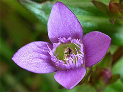
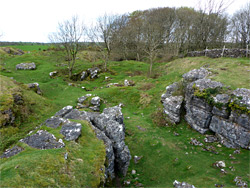
One of over a dozen nature reserves within the Mendip Hills Area of Outstanding Natural Beauty, Ubley Warren occupies a small area of rough, calcareous grassland near the centre of the hills, 2 miles southwest of the little village of Ubley, at the very upper end of minor valley that eventually becomes Cheddar Gorge, 2 miles downstream. A variety of wildlife may be seen here; grass snakes, adders, lizards, slow worms, up to 30 types of butterfly and a range of birds, together with a reasonable selection of plants including just a few less common species such as bee orchid and autumn gentian. But perhaps the main point of interest is the mining history of the site - lead has been unearthed here for many centuries, from pre-Roman times to the end of the 1800s, and as a result the generally flat land is potmarked with many overgrown spoil heaps, hollows, trenches and pits.
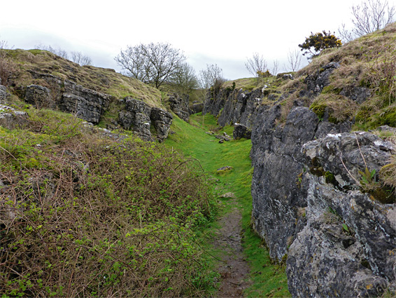
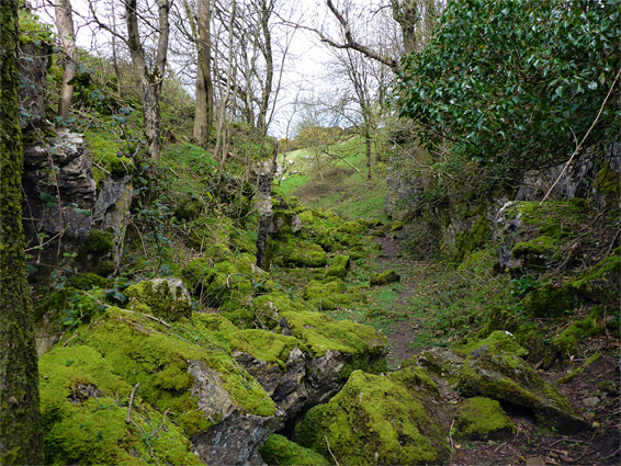
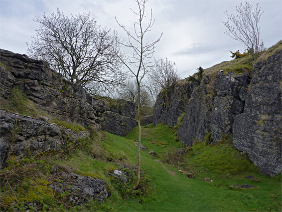
The most visible mining remnants are a number of shallow, vertical-walled cuttings through the bedrock (black rock limestone), known as rakes, where lead veins running close to the surface have been excavated. One is shady and wooded, the limestone largely covered with bright green moss, while the remainder are more exposed and retain mostly bare rock faces, but all are quite photogenic. The reserve also contains a few natural openings, entrances to the complex cave system beneath the Mendips. The lead workings in the reserve are part of a band of past activity stretching nearly 2 miles, from Velvet Bottom (part of Cheddar Complex Nature Reserve), further west along the valley, to Blackmoor in the northeast.
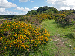
Ubley Warren Nature Reserve is part of the Cheddar Complex Site of Special Scientific Interest, a group of protected areas along the upper reaches of Cheddar Gorge and its tributaries. The reserve is reached by a minor road linking the B3371 and B3134, just east of Charterhouse; parking is along a verge on the east side, in the middle of a bend as the road crosses the valley. A path heads southeast, passing close to the main group of rakes to the left and some smaller excavations to the right, then forks towards the far edge of the reserve, one branch running northwest to an alternative access point and the other returning to the road a little way south of the parking area. Beyond this path, the southern portion of the land is bushier, and has fewer mining relics. Amongst the rakes and other depressions are several intact shafts, all securely gated, as are a few cave entrances. The reserve is grazed by cattle in spring and early summer in order to control the amount of grass and allow other plants to develop.