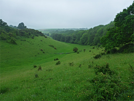
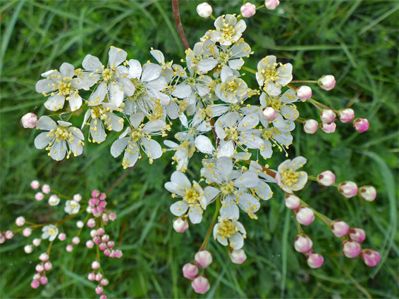
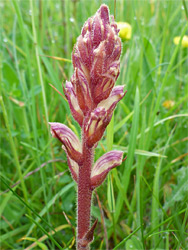
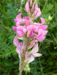
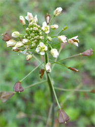
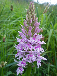
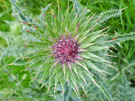
The 63 acre Middleton Down Nature Reserve contains two forks of a relatively shallow but steep-sided grassy valley, in the chalk downland of southwest Wiltshire, 7 miles from Salisbury - a U-shaped enclosure extending about one mile. Attractions are the fine views over the undulating surroundings, a good selection of insects including many types of butterfly, and, especially, the grassland plants, which include at least seven species of orchid, and are most spectacular in June and July. The great variety of wildflowers is a consequence of the steep slopes which make this land difficult to cultivate, hence it has not been subject to fertilisers and pesticides, and was historically used only as pasture.
The reserve has a rather remote location, along a narrow, roughly paved road south of the village of Broad Chalke, and it seems to be very little visited. The slopes are dotted with a few oak trees and gorse bushes but most are covered only by the flowers and grass, which is kept in check by occasional grazing by a herd of Dexter cattle. The best wildflowers are scattered all across the slopes, often growing in patches, mostly across the steeper parts.
The nature reserve, which is not signposted, is reached via Howgare Road, south of Broad Chalke, turning left (east) at a crossroads after 1.8 miles (1.2 miles before the A354 intersection), then half a mile along the lesser route, Ox Drove. The reserve entrance, marked by an information board, is 800 feet along here, just before the track curves into a small patch of trees. The opposite, north end of the valley can be reached on foot, by a one mile walk south from the village, starting along Bury Lane. From the main, south entrance, the initial section of the valley, Rats Castle Bottom, extends eastwards then curves abruptly to the north, and widens, the protected area extending to a strip of land on the west rim, beyond a line of gorse. The reserve is divided in two by a section of regular farmland, with fences either side of the access track; beyond this, to the north, is another fork of the valley (Lime Kiln Bottom), extending westwards, perhaps with slightly less plant variety. The upper end of this valley, a little way beyond the reserve boundary, meets an extension of the access track, thus allowing a circular walk. An alternative way back is to climb a fence and walk across the long grass field between the two arms of the valley; this, although not part of the reserve, also has numerous wildflowers in the summer.