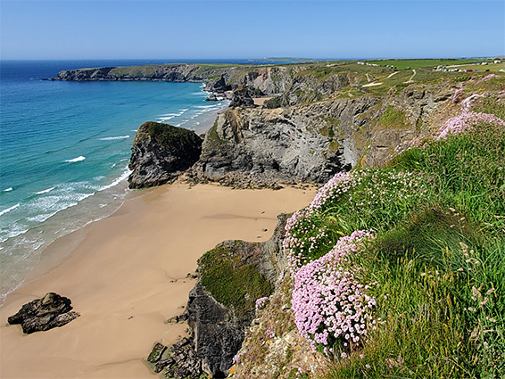
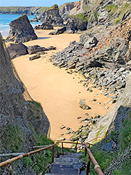
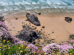
Sea stacks, pools and a wide sandy beach, at the foot of steep, wildflower-covered cliffs. Accessed by a series of steps, currently closed due to storm damage
Carnewas at Bedruthan, off the B3276 near Trenance; PL27 7UW
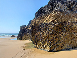
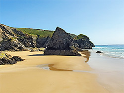
The Bedruthan Steps are a group of sea stacks and tiny islands along the north Cornwall coast, 5 miles north of Newquay, surrounded by a broad sandy beach and overlooked by tall cliffs, up to 200 feet high, covered by many wildflowers in spring and summer. The name is comparatively recent in origin, bestowed in Victorian times, seemingly to increase visitation to the area - Bedruthan was supposedly a giant, who used the stacks as stepping stones when crossing the bay.
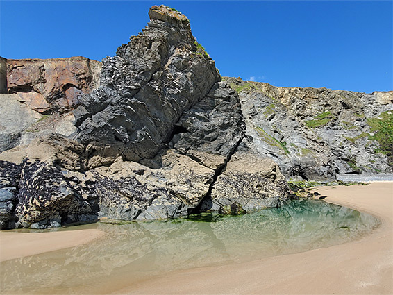
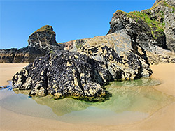
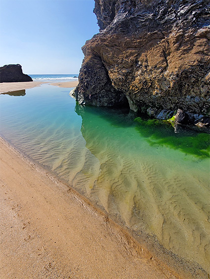
The rocks are sedimentary, a mix of sandstone, siltstone and mudstone, from the Bedruthan Formation, and, at low tide, they lie at the centre of a pure sand beach up to 800 feet wide and nearly one mile long - a particularly impressive sight, though one not generally viewable close up since the only official route down with the cliffs, a steep path with many steps, has been closed since 2019 due to a rockfall. Instead, the stacks can be seen from the cliff edge via the coast path, which has two access points, a National Trust car park, 'Carnewas at Bedruthan' at the south end of the day, and a campground/car park a little way north. The cafe is built on the site of Carnewas Mine, used to extract lead and iron ore between 1855 and 1874.
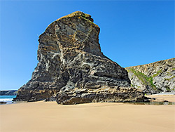
The National Trust car park is the most used access point to the Bedruthan coast, and is served by a seasonal cafe, the Carnewas Tea Room, complete with pretty garden. A short path leads to an adjacent promontory, Carnewas Point, which marks the south end of the sandy bay; a quarter of a mile north is the similar Pendarves Point, with one of the stacks, Pendarves Island just beyond, separated by a narrow, sheer-walled channel. Next is an inlet, Red Cove, with Redcove Island at its centre, and then a larger inlet centred on Samaritan Island, named after an 1840s shipwreck. Beyond, two more named stacks are Queen Bess Rock and Diggory's Island, before the sands end, at the south side of Park Head Peninsula.
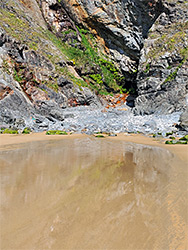
The old route to the beach is on the north side of Pendarves Point, down a narrow ravine, 'Dark Hole', part of which is kept permanently moist by a small stream, and much buffeted by the waves at high tide, on the lower reaches. The rockfall and associated damage is not actually that great and the path is in fact still being used, since although closed by a gate, this can be bypassed by climbing over.