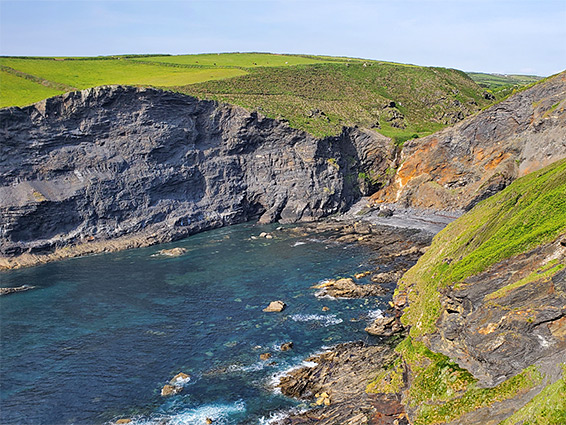
Hundred foot coastal waterfall, above an inaccessible pebble beach and cliff-lined bay frequented by seals. Reached by a short walk, across a field and along the coast path
Location
Along the B3263 north of Boscastle; PL35 0HH
Walk
0.3 miles
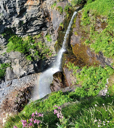
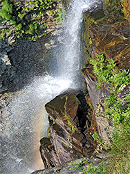
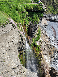
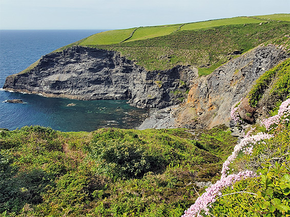
At Pentagon Falls, the waters of an unnamed stream drop a hundred feet over a sedimentary ledge onto an inaccessible pebble beach, lined to the north by a sheer cliff up to 200 feet high - probably the most spectacular coastal waterfall in Cornwall. The coast path crosses the stream a short distance from the brink of the falls, a location reachable by an easy walk of only 0.3 miles, starting along the B3263, one mile from Boscastle.
All the bedrock hereabouts is from the Carboniferous-era Boscastle Formation, and the stream runs right along the boundary between two components; harder sandstone to the north, forming the tall cliff, and softer mudstone/siltstone to the south. The full drop of the falls is somewhat hidden by banks at either side; the best viewpoint is right at the brink, at the end of a short spur off the coast path. If the sun is oriented appropriately (in the afternoon), the spray from the falls creates transient mini-rainbows, adding to the beauty of the scene.
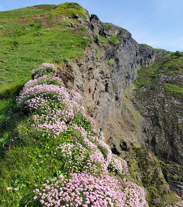
In former times the waterfall could also be seen from a little further away by a viewpoint at the end of a longer spur trail, to the south, but that route was closed due to cliff falls. Even earlier, in the 19th century, the beach itself was reachable, via a third spur, crossing the slopes below the viewpoint and descending to sea level by a flight of steps to pass a short cliff, however this was washed away many decades ago. In Victorian times the beach was advertised as an idyllic swimming location, along with the chance to stand right behind the falls, and to view seals, up to a hundred of which frequent the nearby rocks and caves. The seals at least are still there, in season, often glimpsed from the cliffs above. The courses of both these closed paths are still evident, although very overgrown, and the viewpoint path is still marked on modern maps.
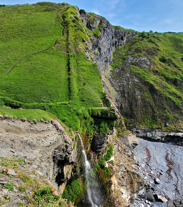
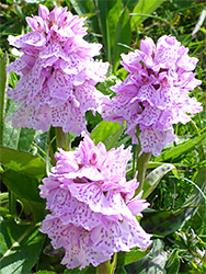
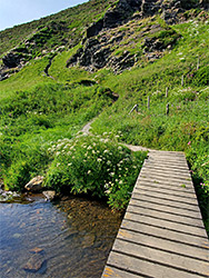
Pentargon Falls may be reached most easily by walking from one of two parking places along the B3263; the carpark for Boscastle Farm Shop, or the entrance to a field, 800 feet west. From this latter location, the coast path is accessed by walking across the adjacent field, either due north, climbing through a hedge to reach the path, or northwest, aiming for a gap in the hedge where another path joins from the south. Walking east from either point, the coast path soon bends northwards, past a connecting route from the farm shop, then descends into the valley containing the falls - this is a hanging valley, its lower end some way above sea level, because the stream is eroding down much more slowly than the sea is carving the cliffs at its base. Once, the coast path led directly to the falls but its former course is partly lost due to landslips, and instead the path moves inland slightly, descending a slope filled with hundreds of heath-spotted orchids in the summer. After crossing the stream, 130 feet from the falls, the path climbs the bushy slope to the north (Beeny Cliff), past several other good viewpoints.