Benyon's Inclosure is a sizeable block of mature conifer plantation containing patches of ancient woodland, plus alder carr, grassland, heath, streams and a pond - in northeast Hampshire, just north of Silchester. It is privately owned, part of the Englefield Estate, but open to the public largely without restrictions.
Inclosure is the older variant of the modern enclosure, referring to once common land that was appropriated by landowners following an Act of Parliament or some other method, in this case in 1829 by the Benyon family, to create a deer park. The family have occupied Englefield House at the centre of the estate for several centuries; the house lies five miles north of the inclosure, in neighbouring Berkshire.
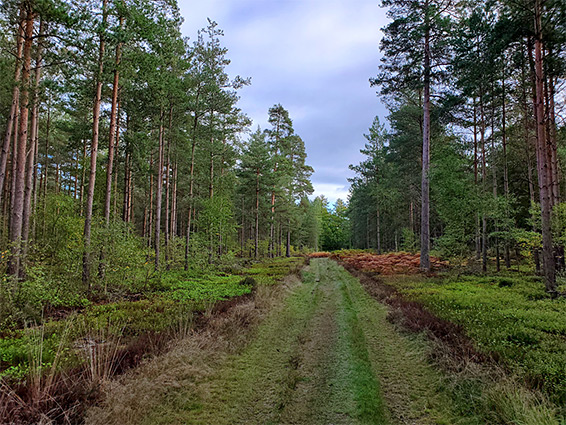
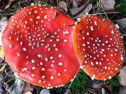
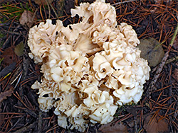
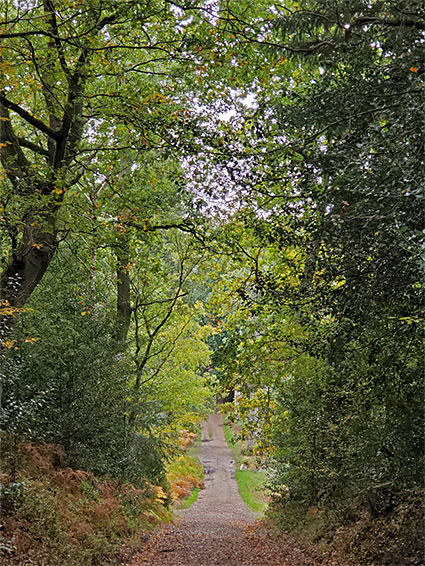
The woodland covers a triangle of land about one mile across, with a stream (West End Brook) through the middle, and may be explored by a network of tracks. There seem to be no current forestry operations, though an area along the northern edge is currently in use as a quarry, for sand and gravel extraction, nonetheless the place away from here is peaceful and undisturbed, and supports a good range of animal and plant life, with fungi especially plentiful in the autumn.
Within the inclosure are three ancient relics - a Roman road, running northwest from the ancient settlement of Silchester, a univallate Iron Age fort ('The Frith') and a smaller fortification of uncertain origin.
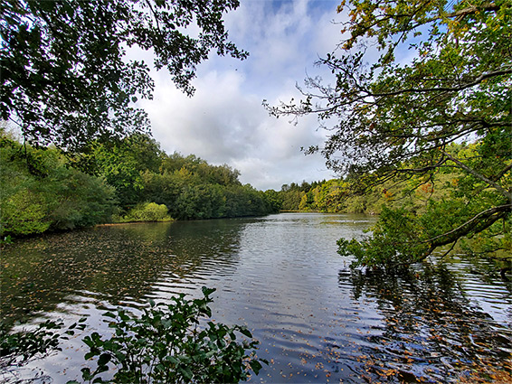
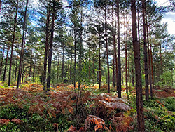
The main entrance to Benyon's Inclosure is along the south edge, on Kings Road, where a parking place accommodates several vehicles, at the start of a track that traverses the woodland to Welshmans Road along the northern edge. From the south the track passes through areas of Scots pine, formerly open heath, across the course of the Roman road (no visible sign), to a four-way junction. The track on the right soon reaches the edge of the forest, at the site of the Iron Age fort, recognisable from its outer embankment, which survives for about half of the circumference, and is still 5 feet high in some places. The track then bends north and runs along the edge of Kiln Pond, created in the 19th century by a local farm to raise fish. Originally the pond lay to the east of path, with marshy ground to the west, but now the situation is reversed. The pond is fed by West End Brook, crossing the centre of the inclosure. The northern half of the woodland has mostly conifers, with some broadleaf trees, in some places quite well separated, the trees interspersed with patches of grassland. One branch of the stream flows through a shallow valley, Alder Slade, a marshy area inhabited by alder trees.