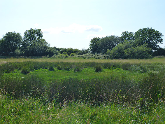
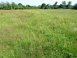
Three groups of fields on damp, neutral soils within the floodplain of the River Wye, separated by streams and ditches, and filled with a variety of wildflower species
The Sturts is a closely-spaced group of three nature reserves (East, North and South), each containing several fields of damp grassland on neutral soils, on flat, low-lying terrain just north of the River Wye in west Herefordshire, subject to seasonal flooding. They are notable for the abundant wildflowers, and associated insect and bird life, rather than for the scenery, as all fields look quite similar, and the overall landscape is rather undistinguished.
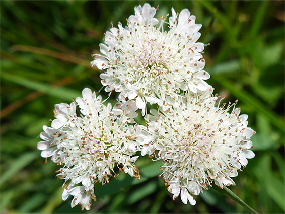
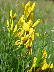
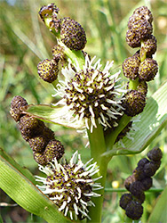
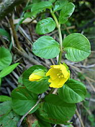
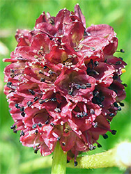
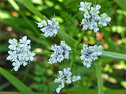
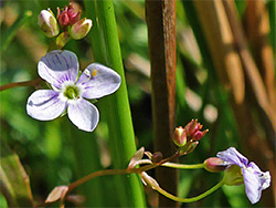
The meadows are separated by hedges, patches of woodland (especially pollarded willows), streams and ditches, and they contain various ponds and marshy patches. Great burnet is perhaps the most eye-catching wildflower, found in many thousands in the northern reserve; other species of interest include dyer's greenweed, fine-leaved water dropwort, pepper saxifrage and tubular water-dropwort.
The fields are part of the Letton Lakes - a group of ponds and wet grassland, unimproved and semi-improved, in a shallow basin around the village of Letton, 12 miles northwest of Hereford. The reserves collectively occupy an area less than one mile across, linked by pathways through other fields, so all can be seen together, on a loop walk taking around two hours. Some parts are waterlogged during rainy periods but most areas are readily accessible all year. All three reserves are reached from an unnamed lane north of Letton, linking the A4112 and A438.
Nearly all the land in the reserves is part of the Sturts Site of Special Scientific Interest, the exception being most of the eastern fields.
Sturts East (15 acres) comprises six fields, all quite small, adjacent to the lane just north of the little settlement of Waterloo. Four are relatively dry, while two (Smith Meadow and Waterloo Field), are wetter, containing several ponds. Sturts North (52 acres) can be reached by a short walk from Sturt East, or via a path from Ailey Lane on the north side; it has seven fields, of which the western pair are quite dry, and managed primarily as hay meadows, the remainder are wetter, with more diverse plant life. Here is found the great burnet, very abundant in some sections. Sturts South (40 acres) has four quite large fields, all hay meadows, and is the most likely area to be flooded since it is closest to the River Wye. Small differences in elevation result in a complex mix of wet and dry environments. The main entrance is along the lane just south of Waterloo.