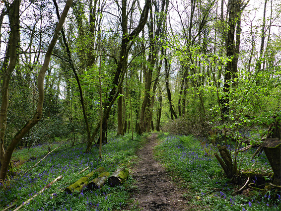
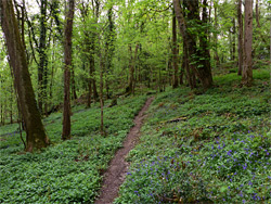
Prisk Wood in Monmouthshire is one of over a dozen small, named areas of forest along the west side of the valley of the River Wye, protected as both a nature reserve and a site of special scientific interest. The reserve covers a belt of flat land on the rim of the valley, plus a larger area of the steep slopes below, and is crossed by several small streams which, together with the general shadiness of the thick canopy overhead, make the ground-level environment unusually moist, resulting in dense clumps of mosses, ferns, liverworts and other shade-loving plants.
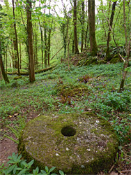
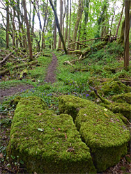
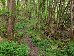
The flatter land along the west edge of the wood is also notable for being the site of millstone quarrying in the 18th and 19th centuries, extracting the stones from a layer of hard siliceous conglomerate known as puddingstone, which forms the uppermost part of the valley sides hereabouts; evidence includes a number of overgrown, rock-cut trenches and several abandoned millstones, some intact, others broken. Away from the overgrown excavations, the woodland contains boulder piles, fallen trees and old stumps, all covered by the moss and other green vegetation, almost resembling a rainforest in its lushness.
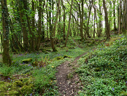
Prisk Wood Nature Reserve is reached by a narrow country road, Lone Lane, 0.7 miles east of a junction in the village of Pentwyn, and 5 miles by road south of Monmouth; after the entrance the lane descends further to a tiny, picturesque settlement right beside the River Wye, next to a historic railway bridge. The several buildings here include the Boat Inn, which displays an information panel about the nature reserve. The one path into the woods is not signposted, and there is no adjacent parking; the nearest place to leave vehicles is a few hundred feet west, in a layby. The path starts just before the first house on the south side of the lane, and passes a Gwent Wildlife Trust information board after a short distance. It then continues 0.4 miles to a style at the edge of a field, close to the far end of the reserve - the boundary is 500 feet further, along a steep stream (Cadora Brook), seemingly flowing through an area not readily accessible.
The Path
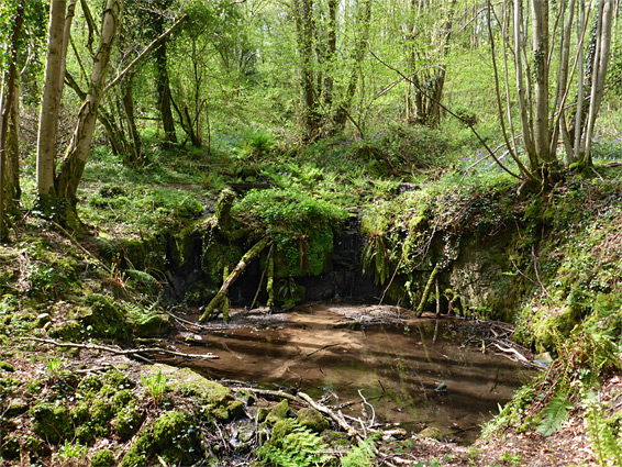
The path first crosses a small stream, and then a larger drainage, which forms a circular pool just below. Beyond, to the right, is the first of a line of overgrown excavations from the quarrying operations, while nearby are several old millstones, within sight of the path. The stones were intended for the local cider pressing industry. The land later becomes a little rockier, and then more overgrown as the edge of the field approaches. Several other small creeks flow over the mossy ground, which east of the path becomes steep and difficult to descend, though there is plenty to see without leaving the trail. The woods also contain a few ancient lime pollards - trees that were severely pruned but have since regrown - and these are thought to mark the edge of the quarry operations.