Skirrid Fawr, or the Skirrid (Ysgyryd Fawr in Welsh) is the easternmost peak in the Black Mountains, themselves an easterly component of the Brecon Beacons. Known also as the Holy Mountain, the peak is small and isolated though still steep and prominent; less than one mile long and a quarter of a mile wide, partly wooded across the southern and western slopes but otherwise covered only by grass.
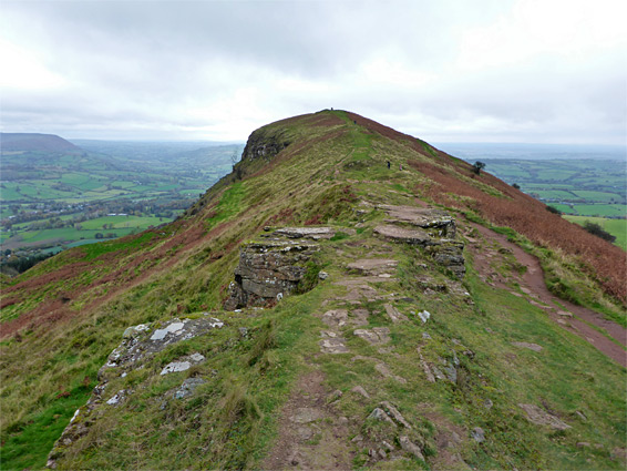
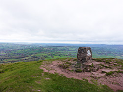
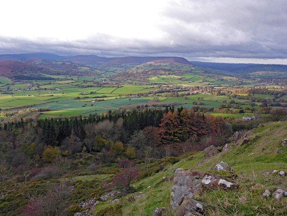
A popular path, a short section of the long distance Beacons Way, climbs the south side and follows the ridgeline northwards to the highest point (1,594 feet) which was once the site of a small church, St Michael's Chapel, built in the early sixteenth century, though nothing remains today apart from low mounds and a few stones. The uninterrupted, panoramic views from the summit span a great distance, west over the Black Mountains, south towards the Bristol Channel, and east to the Malvern Hills. A 3.5 mile loop can be made by continuing down the north side of the ridge and returning across the western slopes, initially through a little stony valley beneath some outcrops of dark rocks, and then back through the woods.
The hike starts from a layby along the B4521, 1.4 miles from the A465 near Abergavenny. The mountain is managed by the National Trust, and a flat daily fee of £3 is charged for parking.
Path Through the Forest
The path, at this point a gravel vehicle track, runs parallel to the main road for a short distance then turns right, heading towards the hill, between two tall hedgerows with fields beyond, then enters the forest and starts to climb moderately steeply. Several tracks branch off at either side as the gradient increases, up to a gate in a stone wall, and another junction; left is the return part of the loop while right, and left again soon after, is the route up to the ridgeline. This path soon leaves the trees and enters exposed, open, often very windy slopes, which give the first expansive views along the hike.
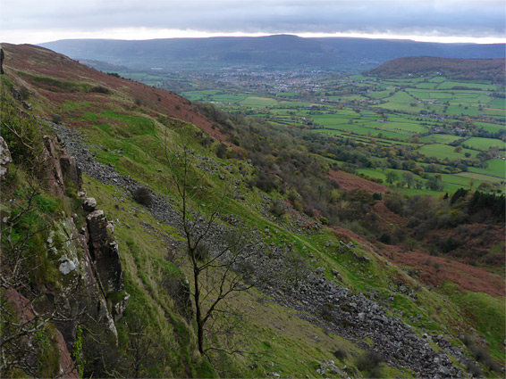
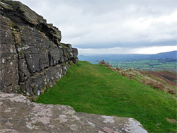
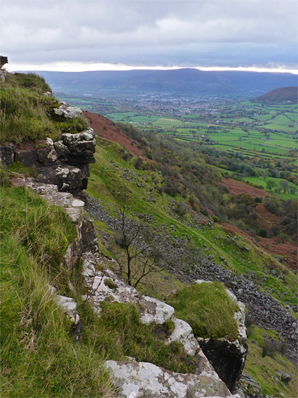
The trail continues along the gently rising ridge, eventually passing another junction on the right and then soon after reaching the summit. Dark rocks are exposed in a few places but most of the peak is grass-covered; there are some more extensive outcrops on the west side (the result of landslips during the last ice age) which are only properly visible from below, owing to the steep, curving slopes above. Like most of the mountains hereabouts, the bedrock is Old Red Sandstone, which in Wales is mostly black or grey in colour. The continuation of the loop is either steeply down a lesser path to the north, or back to the junction, where the main path descends less sharply to an old vehicle track, which is followed northwards, later curving back round to the south and meeting the other path. This continues through an attractive area sprinkled with boulders, followed by a little enclosed ravine, close to the site of an iron age hill fort, before re-entering the woods and eventually arriving back at the initial junction, beside the wall.