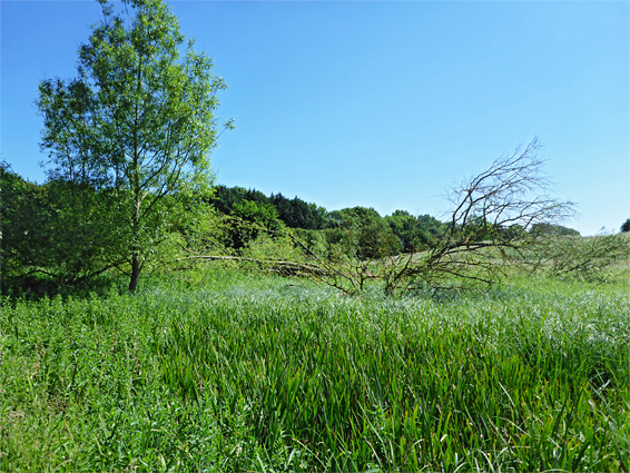
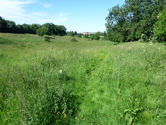
Tuckhill Meadow is a relatively small nature reserve a few miles northeast of Swindon in southwest Oxfordshire, on the outskirts of the village of Shrivenham - an L-shaped enclosure of 15 acres containing a strip of dry to moist grassland, either side of a tiny, spring-fed stream, sloping down gently to a boggy patch (a fen) around the larger drainage of Tuckmill Brook, which is bordered to the west by Ratcombe Copse, a narrow belt of aspen, ash and sycamore trees. A good range of flowering plants grow in the reserve, reflecting the varied habitats, of dry and wet, neutral and calcareous grassland, since the region lies astride the boundary of two different rock types, oolitic limestone and clayish alluvium. The meadow is also a site of special scientific interest.
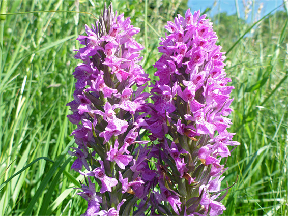
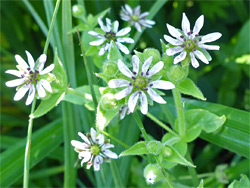
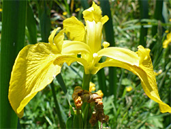
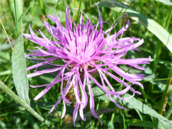
The rarest plant in the reserve is the southern marsh orchid, found mostly along the upper reaches of the tributary stream; other riparian species found here, none especially rare, include water forget-me-not, water mint, celery-leaved buttercup, yellow loosestrife, marsh marigold, yellow iris, pepper saxifrage, lesser water-parsnip, ragged robin, while lady's bedstraw, field scabious, cowslip and salad burnet inhabit the drier areas, at the higher elevations. The reserve is toured by a half mile loop path and merits a visit of at least half an hour, though it seems every few people come here, perhaps due to the rather hidden location. Views of the wider landscape are good and the atmosphere quite peaceful, despite the proximity to a nearby main road, the A420.
The reserve, which is not signposted, is reached via Pennyhooks Lane, a narrow route, only partially paved, linking the A420 with Shrivenham Park Golf Club, and then Faringdon Road in Shrivenham. A few parking spaces are available at the entrance, from where two paths run northeastwards, along either side of the tributary stream, crossing the brook on footbridges and meeting on the far side. A little spur goes northwest a way, towards the woodland. The brook once took a twisting course but was straightened in the 12th century for use in a clothing mill, leaving the old meanders to become reed-filled pools. Another path leaves from the far side of reserve and links with a road in the adjacent village of Watchfield.