Mynydd du Forest is a large conifer plantation in the Grwyne Fawr valley, crossed by various tracks, one linking with a short path to the summit of Pen y Gadair Fawr
Mynydd du Forest is one of the largest conifer plantations in Brecon Beacons National Park, stretching four miles along the valley of the Grwyne Fawr river in the Black Mountains, along the Powys-Monmouthshire county line - mostly on the west side of the valley, spanning elevations of 840 to 2,400 feet.
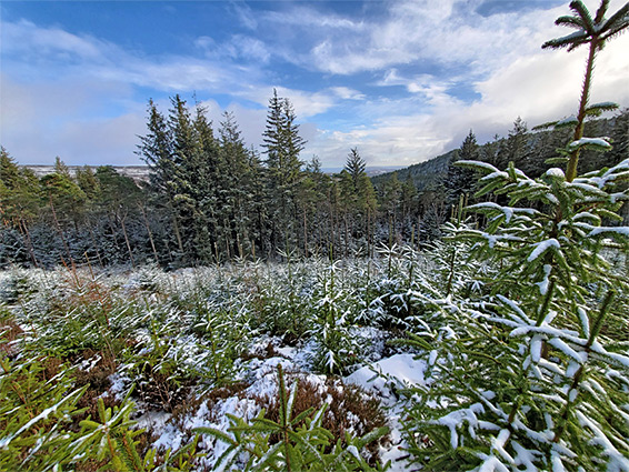
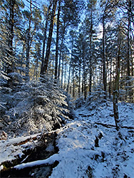
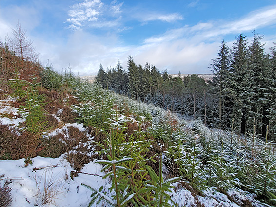
The forest includes a strip of riparian woodland on the valley floor and occasional patches of broadleaf trees, but most is conifers, including Sitka spruce, larch and Scots pine. The riparian corridor is ancient woodland, and conifers have in recent years been gradually removed from this area to restore a more natural habitat; historically the rest of the slopes were open moorland, with just a few trees lining several streams that flow down the hillside.
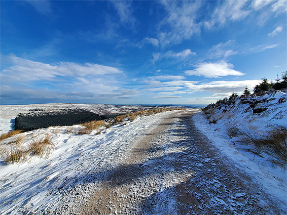
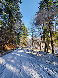
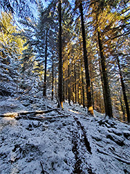
The majority of the forest contains mature trees and is crossed by tracks at various levels, allowing for miles of walking or cycling, and although not a natural landscape, the woodland appears well-established, and is quite scenic. To the north, the uppermost track links with a short path to a nearby summit, Pen y Gadair Fawr - the sixth highest peak in the national park, standing on a narrow ridge with fantastic views all around.
The summit can be reached by a walk of just 1.2 miles, via an unofficial path directly up the slopes adjacent to the north edge of the forest, or by less steep walks of between 2 and 4 miles incorporating some of the tracks. The example shown on the map is 3.4 miles.
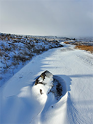
Mynydd du Forest is reached by a narrow, dead-end road from the south, starting at a crossroads 4 miles north of Abergavenny; the lane follows the west bank of the Grwyne Fawr river, past fields and copses, then arrives at the south edge of the forest, continuing for 4 miles to a gate at its northern end, beyond which is a private, 1.3 mile stretch leading to the Grwyne Fawr reservoir. Vehicles may be parked at the gate, near the start of the unofficial 1.2 mile path to Pen y Gadair Fawr, or at the main location a short distance south - the Black Mountain-Mynydd Du car park. Other parking places include the start of several tracks into the forest, these also closed by gates.
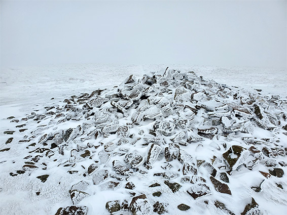
The tracks through the forest mostly run north to south, climbing gently, though lesser pathways ascend more directly and in some places it is easy enough to walk directly through the woodland, so there are many options for loop or one-way hikes. The most recently-felled area of the plantation is at the northwest corner, and here, the uppermost of the tracks winds around open slopes, some sections covered with saplings, and ends at a turning circle and fence, beyond which is the 0.3 mile path to the Pen y Gadair Fawr summit, climbing 300 feet to the ridgetop and up the slopes of the actual peak, which is topped by a large rockpile cairn. One mile northwest is the slightly higher though less well-defined summit of Waun Fach.