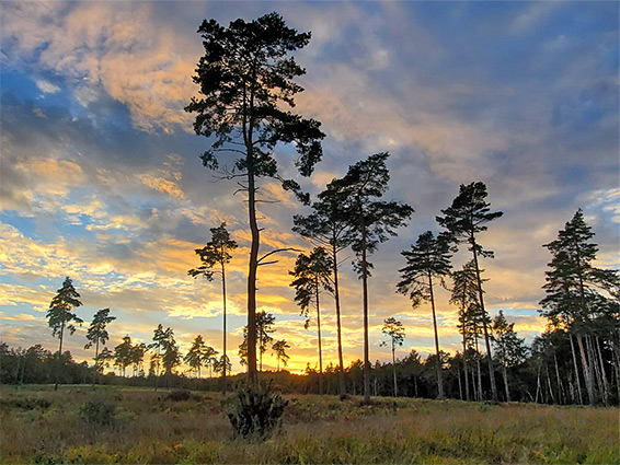
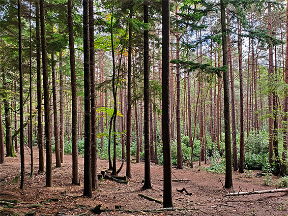
Bagshot Heath is a sizable area of wet and dry heathland, valley mires, deciduous woodland and coniferous plantations, beside the town of Bagshot in northwest Surrey, close to the border with Berkshire. The heath forms part of the Swinley Forest, also including Crowthorne Wood, all within the general area of Bracknell Forest. The enclosing woodland is extensive, over 5 miles from east to west, an unusually large area of semi-natural land for the southeast of England, plenty big enough to be able to walk for hours, away from any development.
Historically, Bagshot Heath extended for five miles or more, on the west side of town, but much of the southern portion has been built upon, in particular the new village of Lightwater, so now the main area is to the north; north of the A30, and is centred on a patch of open heathland around one mile across, with woods all around the perimeter. A small part of the southern section survives in and around Lightwater County Park.
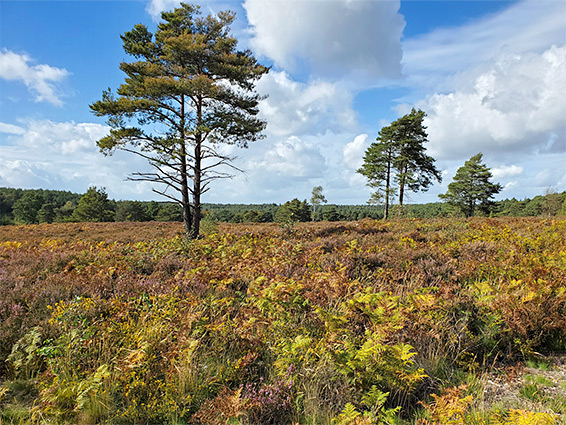
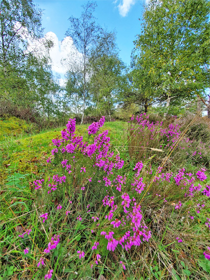
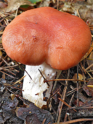
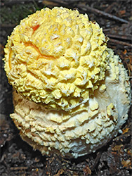
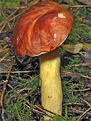
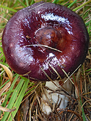
The heath, which is underlain by several different sandstone formations, resulting in acidic soils, is part of the Broadmoor to Bagshot Woods and Heaths Site of Special Scientific Interest, notable for various rare species of insects and birds. Plants are generally fairly common, but two more unusual species are marsh st john's-wort, found at the margins of the Ripley Lakes, on the north side of the heath, and common wintergreen, in the open grassy land at the centre of the heath. The plantations harbour numerous species of fungi, including many pinewoods-specific varieties.
The heath is best approached from the south, via several paths that start from residential streets, with free parking, including Vicarage Road and College Ride in Bagshot, Esher Road and Bracknell Road in Camberley. Vicarage Road is perhaps the most used entrance; this becomes unpaved after a gate, not for public vehicles, and is now known as Vicarage Lane, heading northwest through woodland, mostly conifer plantations, some sections of which have been recently felled. To the east is Queens Wood, crossed by several streams including Windle Brook, flowing northwards to the Rapley Lakes. Land on the west side of Vicarage Lane is also covered by conifers, with deciduous trees lining the various side tracks, and three streams - the largest is towards the south, and this contains a small pond, surrounded by boggy terrain. The land to the west slopes gently upwards to a plateau, the top of which contains the main area of open heathland, one mile from north to south, bordered to the west by more trees, in Pashcal Wood.