On the northwest coast of Devon, within North Devon Coast Area of Outstanding Natural Beauty, Braunton Burrows is the second largest sand dune system in the UK, behind only the Sefton Coast in Lancashire. Named after the nearby town of Braunton, the dunes extend four miles along the coast, from the estuary of the River Taw in the south to the village of Saunton in the north, above which the land rises abruptly to a broad mudstone ridge, Saunton Down. From east to west the dunes are over one mile wide, bordered on the seawards side by a long and featureless sandy beach (Saunton Sands) and inland by low-lying fields, crossed by watery ditches.
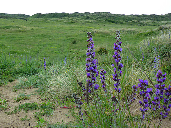
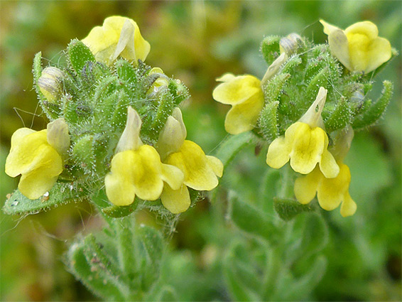
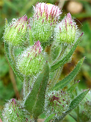
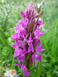
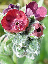
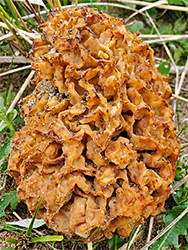
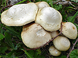
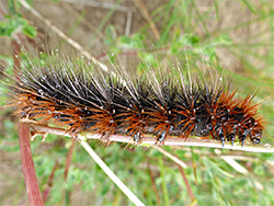
The dunes are noteworthy for several reasons including for representing all the different stages of dune vegetation, from ancient, fully stabilised dunes furthest inland to active sands beside the sea. Like all such large dune systems they are home to varied range of plants, with over 450 wildflower species and a corresponding diversity of wildlife, principally insects, and five out of the six British reptiles. There are 11 types of orchid and such rare species as sand toadflax and water germander, though no longer the fen orchid, once found here though now seemingly disappeared.
Dozens of unsigned paths criss-cross the dunes, and the lack of landmarks can make navigation confusing. There are three access points, at the north and south ends and in the middle, and visitation tends to be limited to the nearby areas - some parts, well away from the entrances, have quite a feeling of remoteness, only sometimes spoilt by the military, who use the central and southern regions as a training area.
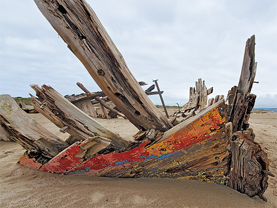
The busiest of the three entrances is at the north end, the Saunton Sands car park, off Croyde Road at the foot of the Downs - frequented by beachgoers and windsurfers, who typically occupy the nearest half a mile or so of the beach, which is about 1,500 feet wide at low tide. The middle car park, Sandy Lane, is the least used, but quite popular with dog walkers, while the road to it, also known as American Road, continues south to the third and most remote access point, the Crow Point car park beside the River Taw. Crow Point is a sandy peninsula forming the southern tip of the burrows, guarded by a small lighthouse; nearby are broad beaches, sandy dunes, and a colourful shipwreck.
Some of the major paths or tracks are two between the Sandy Lane and Saunton Sands car parks - one running along the east edge of the dunes, another closer to the coast (the area between is a golf course), and also from Sandy Lane to the beach, and a connection from here towards Crow Point. The burrows are split into three equal sized zones numbered 1 to 3, north to south, these identified by signs and delineated by fences, principally to control grazing areas - all the dunes are privately owned, managed by Christie Devon Estates, and used to rear cattle and sheep. The seawards fences end around 100 feet from the edge of the beach. Military activities are primarily in zone 2. Wildflowers are frequent all over the dunes but more abundant towards the south end, and here are found most of the riparian habitats including pools, marsh and wet woodland.
The burrows are also famous for their use by US troops during World War II, as a training area in preparation for the Normandy landings of 1943, since the topography and sand characteristics were found to be identical to those in France. Various concrete structures from that time still survive, mostly now in ruins. Current military use involving use of flares and similar is restricted to ten days each year, though army vehicles are often still seen at other times, when the whole area remains open to the public.