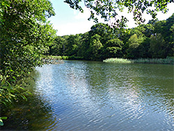
In the middle of the Forest of Dean in west Gloucestershire, Cannop Bridge Marsh Nature Reserve contains a mix of wet and dry forest, pools, streams and marsh, in the valley of Cannop Brook just north of the northernmost of the two Cannop Ponds, which are artificial features created by weirs constructed in the 1820s to ensure a regular water supply to the Parkend Ironworks, one mile south.
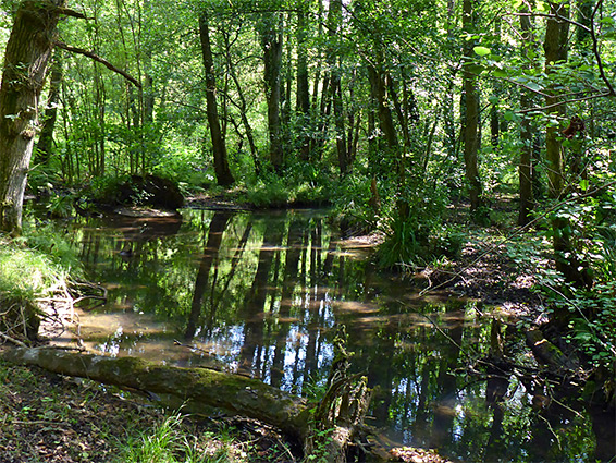
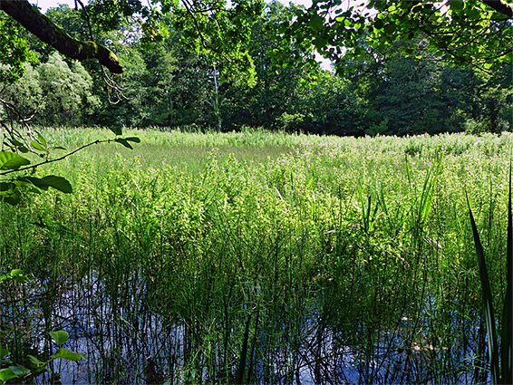
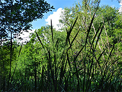
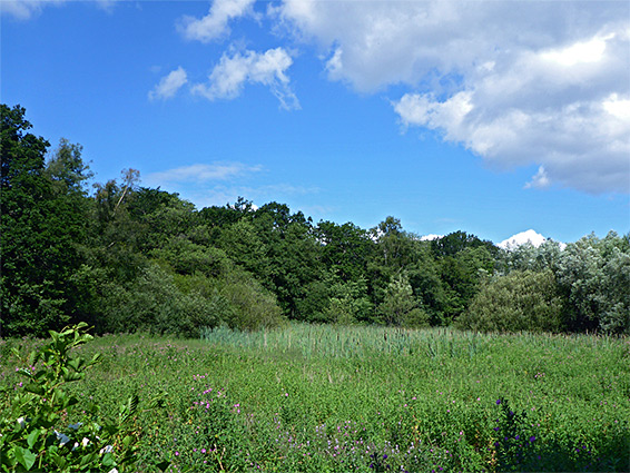
The marsh formed relatively recently, after construction of an intermediate barrier half way across the northern pond, leaving the upstream section to become gradually filled in with sediment, and colonised by reeds, rushes and grasses, together with a selection of riparian wildflower species, all relatively common. A path runs alongside the pond, over the barrier and through the woodland bordering the marsh, while the rest of the reserve is rather inaccessible due to waterlogged ground.
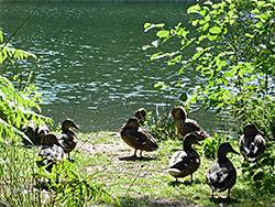
In addition to the plants and the scenery, the reserve is also of interest for bird and insect life, especially butterflies, dragonflies and damselflies. The habitats are similar to Foxes Bridge Bog, 1.5 miles west, though this is an entirely natural landscape and has less nutrient-rich soil with more peat content; Cannop Bridge Marsh is more permanently watery and has greater tree cover. Besides the ponds themselves, other sites of past industrialisation in the vicinity were a railway along the east side of the valley, stoneworks and a distillery on the north edge of the reserve and a charcoal works just beyond, all long since removed.
The B4234 runs north from Parkend up Cannop Brook valley, past the ponds and then the reserve, which lies just south of the junction with Speech House Road. The ponds are popular for picnics, walking and bird-watching, and share a parking area with the reserve, half a mile south of the road junction. The path to the reserve heads through the forest beside the adjacent pond and over the barrier that has divided this half way along; to the north treeless marsh extends for about 400 feet, while beyond, the remaining 600 feet of the former pond is now wooded, sometimes completely flooded, at other times just partly inundated, and crossed by little streams. The path continues through the woods bordering the east edge of the marsh then intersects another route along the former railway line. The west edge of the marsh has no path but can be followed relatively easily by walking through a thin belt of dry birch/alder woodland, close to the road.