Prominent limestone hill at the edge of the Cotswolds, overlooking Gloucester and the Severn valley; a noted wildflower location. Also old quarries and the remains of an Iron Age hillfort
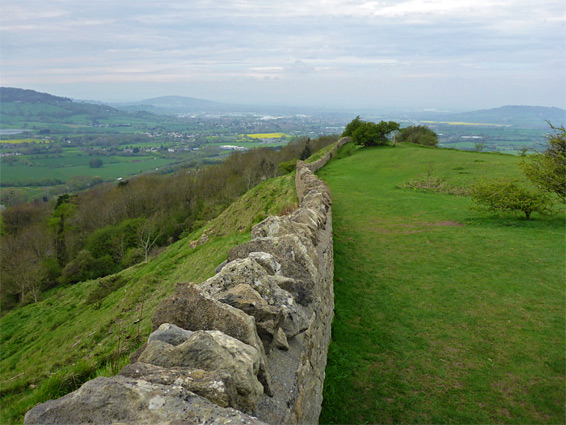
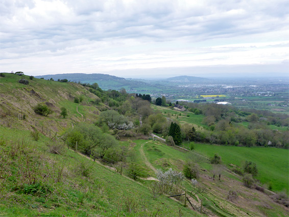
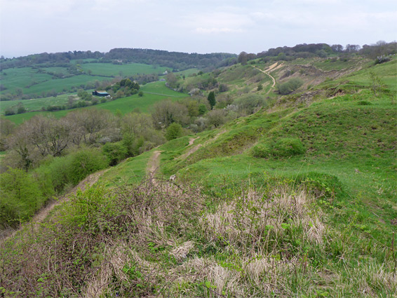
Crickley Hill is typical of the low summits along the west edge of the Cotswolds; a limestone spur, covered with a mix of grassland and woods, with some exposed rocks, providing excellent views for many miles westwards, towards Gloucester and the Severn Vale. The meadows are one of the best wildflower sites in the county, on account of which the hill is both a Nature Reserve and a Site of Special Scientific Interest, this latter extending south to similar habitats at Barrow Wake, a continuation of the limestone escarpment. The location is additionally part of a County Park, which has upgraded visitor amenities including a cafe, picnic area, paved car park and marked trails, and is jointly administered by the National Trust and the Gloucestershire Wildlife Trust.
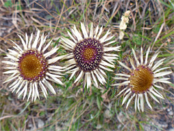
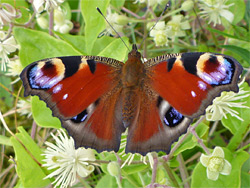
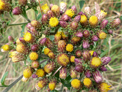
The reserve is home to several unusual wildlife species including slow worms and adders, and has a few archaeological relics, principally disused quarries established in the 18th century, and earthworks from an Iron Age hillfort. Much of the hill is quite exposed so wildflowers take a little while to bloom and are not so abundant in spring, though they have become very numerous by midsummer. Species include several types of orchid, plus vetches, carline thistle, yellow wort, clustered bellflower and autumn gentian.
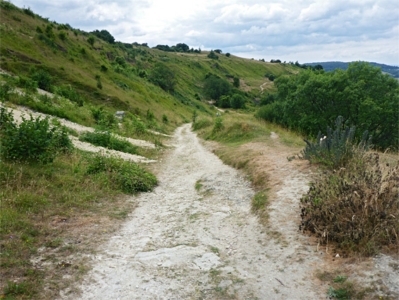
The hill is seven miles east of Gloucester along the A417, just north of the junction with the A436 at the Air Balloon roundabout, reached from this intersection by driving north a short distance along Leckhampton Hill, then west on a driveway, through planted oak woodland, past the cafe and down slightly to the main car park, which adjoins the largest of several old quarries in the vicinity, where a vertical face of greyish oolitic limestone is prominently exposed.
Paths cross the beach/ash forest to the south ('The Scrubs') and the more widely spaced trees of Short Wood, north of the entrance road, but most visitors instead walk along the treeless land at edge of the hills - several paths cross the calcareous meadows, through the remnants of the Iron Age hill fort and across the slopes below, to the west. The southern slopes, which are rather steeper, and extend down to the narrow valley that provides a course for the A417, are not open for walking. Another route heads north along the edge of the uplands into an adjoining, tree-lined meadow, owned by the National Trust. The long-distance Cotswold Way runs through the park, and across Barrow Wake to the south. Most of the open areas on the hill are managed as pasture, seasonally grazed by belted galloway cattle, who help to increase the plant diversity by reducing the thick grasses, allowing more delicate species to become established.