A detached part of the Cotswold escarpment; a flat-topped limestone hill, site of a large Iron Age fort. Ringed by calcareous grassland, good for wildflowers
Management
Uley Parish Council
Location
Crawley Hill Road, 3 miles east of Dursley; GL11 5BH
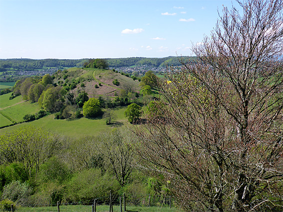
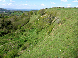
Uley Bury is a flat-topped hill, a detached section of the Cotswold escapement, overlooking the Severn Vale, 3 miles east of Dursley; a rectangular feature, 2,000 by 700 feet, surrounded by steep slopes on three sides and linked to the main area of high ground only by a narrow strip of land to the north.
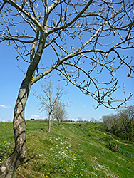
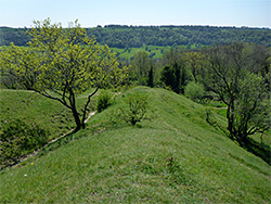
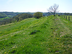
This easily defensible setting makes the hill an obvious place for a settlement, and pottery fragments suggest it was occupied in Neolithic times, though much more visible are the earthworks from an Iron Age hillfort, in use from around 300 BC to 100 AD. All the flat ground on the hilltop was occupied by the settlement, which has never been excavated, though aerial photographs appear to show outlines of buildings, while the site is enclosed by two concentric rings of ditches and embankments, augmenting the natural slopes.
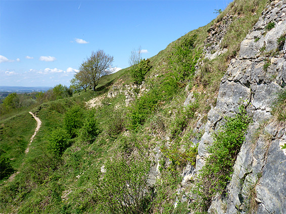
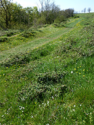
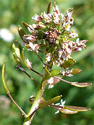
Rocks at the centre of the hill are Salperton Limestone, those on the slopes are Birdlip Limestone, while beneath, the surrounding lower land is underlain by sandstone from the Bridport Sand Formation. At the hill the limestone is properly exposed at just one point, along the southern edge, at the site of an old quarry. The slopes are partly covered by trees and partly by calcareous grassland, which harbours a good range of wildflowers including at least one rare species, wall whitlowgrass.
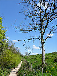
The hill can be viewed along a 1.3 mile loop trail, mostly running just below the edge of the plateau.
Uley Bury is reached by Crawley Hill Road north of Uley village, parking on the west side, at the start of a path that leads south through a patch of ancient woodland to the open area on the hilltop, where it divides, at the start of the loop. To the left, this path runs south, round a corner then all along the southeast side of the hill, across gentle, grassy slopes, this the best wildflower location, including the whitlowgrass. At the far corner, another path descends, while the loop continues, below the quarry and across the tallest slopes, southwest-facing, then returns along the northwest side of the hill, between a fence and more extensive woodland. The Bury has elevation of 750 feet and affords good southwards views, across several other little hills towards the River Severn. A small section at the north of the hill is a Site of Special Scientific Interest (Coaley Wood Quarries) on account of abundant ammonite fossils, in both the sandstone and the limestone.