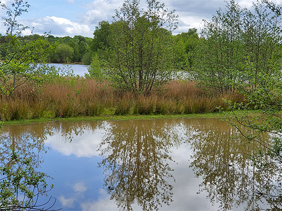
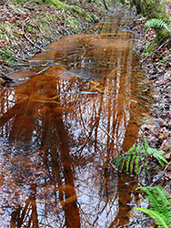
Shallow lake ringed by woodland and heath, near Cannop at the centre of the Forest of Dean. Formerly an open-cast iron mine, and before that a conifer plantation
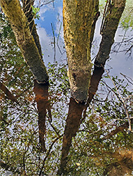
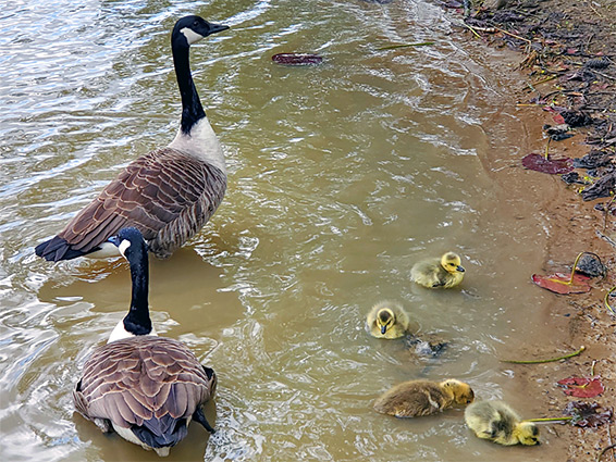
Near Cannop at the centre of the Forest of Dean, Woorgreens Lake is a shallow pond up to 800 feet across, ringed by heath and woodland, broadleaved and coniferous, and supporting a range of plant and animal life, in particular reptiles, dragonflies and birds. Reptiles found in reserve are common lizard, slow worm, grass snake and adder, while great crested newt is the most notable amphibian.
The lake has the appearance of a well-established landscape though was formed relatively recently, in 1981, by deliberate flooding of a disused open-cast iron mine. This was a relatively short-lived operation, established around the time of the second war, prior to which all this area was part of a large pine plantation, Great Kensley Inclosure, established in Victorian times; even earlier, the land was covered by broadleaf trees, managed for timber.
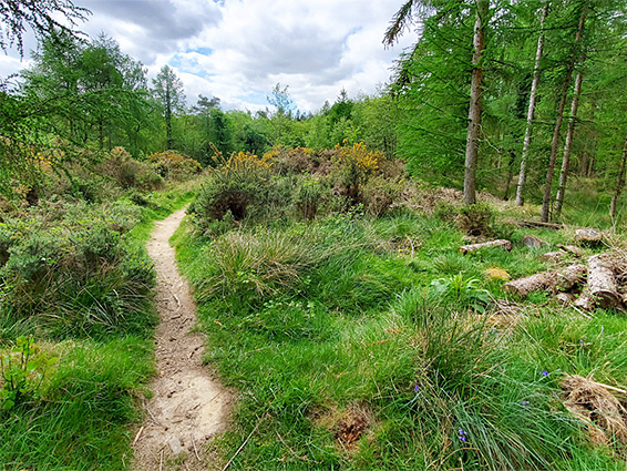
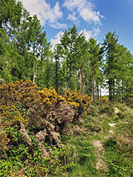
The lake is ringed by a 0.6 mile trail, and several other paths branch off into the surrounding forest and heath, the largest area of which, to the north, has formed since 2011, after removal of 25 acres of the plantation. The lake is protected as a nature reserve, and is easily accessed, by a short walk from a parking place along Speech House Road, 2 miles west of Cinderford.
The reserve is 104 acres in size, containing the lake and a belt of land all around. The place is actively managed, including removal of gorse, bracken and invasive birch trees, to create a more open habitat, allowing the heath vegetation to flourish.
Woorgreens Lake Nature Reserve sits just south of one of the highest points in the Forest of Dean, 660 foot Crabtree Hill, and is underlain by mudstone, siltstone and coal from the Cinderford Member of the Grovesend Formation. The lake is partially fed by two tiny streams, from the hill, and it drains to the south, via a sluice-controlled ditch that leads under the road and into Foxes Bridge Bog, another nature reserve, notable for its population of marsh St Johns-wort, the only site for this in the county. The path from the parking place crosses one track then intersects the loop around the lake, which mostly stays a little away from the water, since the edges are boggy.
The route can be incorporated into a nine mile loop past many other scenic places; an extension of the Beechenhurst Trail. The lake contains one large and several small islands, all much frequented by birds.