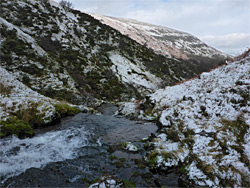
Cwm Serre is a steep-sided valley north of Pen y Fan in the central Brecon Beacons, containing a stream that forms many small waterfalls. Viewable by a cross-country walk, optionally continuing up to the adjacent summit of Cribyn
Several dozen major streams flow from the peaks of the Brecon Beacons, through valleys that are open and grassy higher up, becoming wooded and more enclosed lower down, and all form cascades and waterfalls. Some of the falls are large and well-known, accessed by recognised trails, but most of the streams are pathless, and in general the hiking routes that ascend to the peaks do so by climbing ridges rather than following valleys.
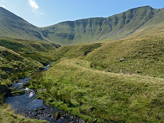
The streams can still be explored, however, by cross-country walking. Cwm Serre is one such valley, on the north side of the central Brecon Beacons, between the ridges of Cefn Cwm-llwch in the west, extending up to the highest peak (Pen y Fan), and Bryn-teg to the west, which climbs to the only slightly lower summit of Cribyn. A five mile hike can be made by walking up the stream (Nant Serre) in the valley, past a dozen or more significant waterfalls, then ascending the east side of the valley to the path along Bryn-teg, following this to the summit of Cribyn and returning all the way down the ridge.
Like most of the northern paths into the Brecon Beacons, there is no designated parking area for the route up Bryn-teg, which begins at the end of a narrow lane three miles due south of Brecon. Half a mile back, the lane crosses the Nant Serre, where there is parking space for a couple of vehicles. An alternative place, if just walking the actual path, is a small grassy area at the end of the paved part of the lane, at a junction, the other route being to Cwm-Cynwyn, a farm and guesthouse.
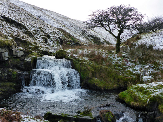
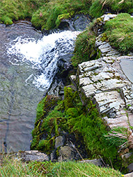
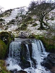
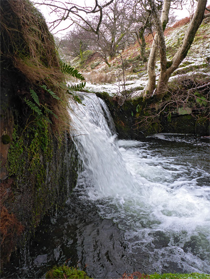
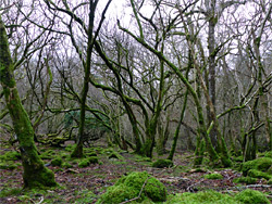
Upstream of the road bridge, the Nant Serre flows through a fairly narrow belt of woodland, gaining height only gradually. Walking is easiest on the east side of the stream, sometimes climbing slightly to pass steeper sections but mostly staying on the flat land beside the water. The woodland is initially quite dense and mossy, filled with a mix of live trees and dead stumps, then becomes steadily more open, the trees extending for around one mile, after which the valley continues another mile, up to the steep slopes below the two peaks. Sheep trails criss-cross the valley. The lower, wooded section has little of interest, with no significant waterfalls, but the stream becomes prettier around the upper edge of the trees, where it forms the first of a long sequence of cascades and small waterfalls, the tallest single drop being around ten feet.
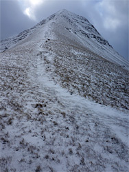
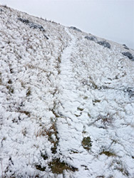
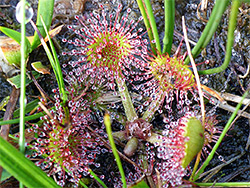
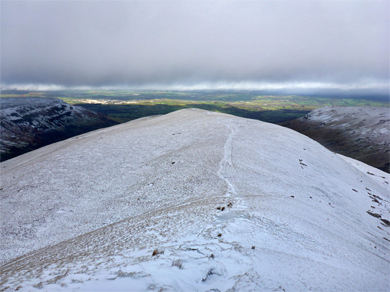
After the first group of waterfalls is a temporarily wider, less steep-sided stretch where a few boggy, tributary streams join - good locations for wildflowers in the summer - then the valley narrows a little and the stream has more cascades, now bordered by treeless slopes. The angular, layered, north face of Cribyn is now prominently visible ahead. The stream still carries a good amount of water, most of the year, and stays as a single main branch nearly to the head of the valley. The last major waterfall is half a mile north of Cribyn, and from this point it is relatively straightforward to walk southeastwards, up a not too steep slope, and join the ridgeline path along Bryn-teg, meeting this just at the foot of the final, steep section of the ascent to the summit - 400 feet up while moving only 800 feet horizontally.
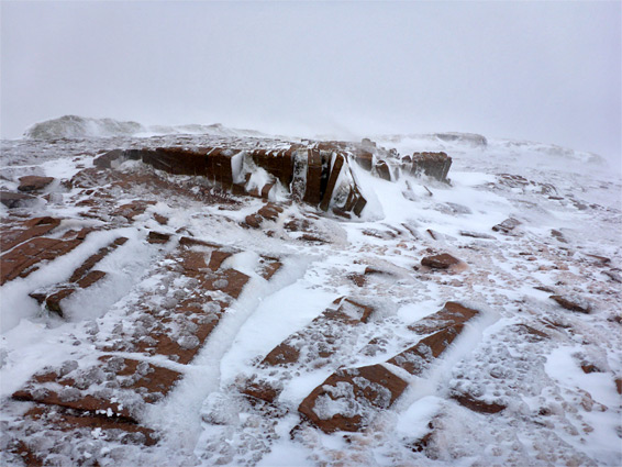
At the summit of Cribyn, paths continue west to Pen y Fan (0.8 miles) and southeast to Fan y Big (1 mile). The return route, all along Bryn-teg, is nearly level for a while once below the uppermost section then descends more sharply lower down, all the while staying right at the crest of the ridge, and eventually arriving at the edge of a field, on the far side of which is a gate and then 800 foot of stony track leading to the end of the paved lane, at the entrance to Cwm-Cynwyn farm.