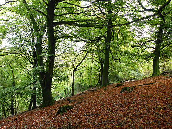
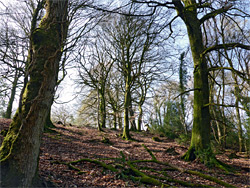
40 acres of ancient, broad-leaved woodland, mostly sessile oak, across a north-facing slope at the end of a ridge on the east side of the Quantock Hills, bordered by a small stream
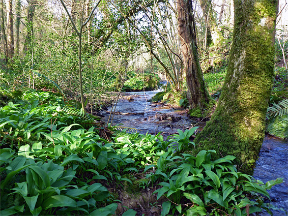
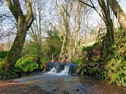
Aisholt Wood is one of the more remote of over 60 nature reserves in Somerset; a patch of ancient, broad-leaved woodland, mostly sessile oak, across a north-facing slope at the end of a ridge on the east side of the Quantock Hills, incorporating a minor summit of 660 feet. A stream flows along the lower, northern edge, while the interior is crossed by a few overgrown tracks, relics from the time when the woods were used as a source of timber and charcoal, in the 19th century.
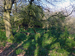
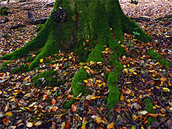
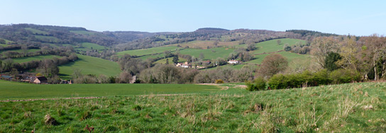
Most of the ground is quite overgrown, especially where the trees are smaller and more recent, but in other areas, under some of the older, taller oaks, the forest floor is much more open, and gaps in the trees allow views of the wider landscape below. The western edge borders a field, beyond which is a valley and then steeper slopes rising to the main ridge of the Quantocks.
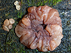
The site is reached by a narrow lane leading to the tiny settlement of Aisholt, and the entrance is marked by a 'public footpath' sign, at the start of an old track that descends a little between high hedgebanks to the stream, then crosses a bridge into the reserve. Wildflowers are typical of most such woodland, lacking any particularly rare species, but with good displays of bluebells in spring, and wild garlic in the moister areas.
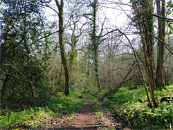
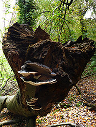
On the south side of the stream, a track continues east and west, soon crossing the original boundaries of the wood and entering other trees which although similar in appearance, are more recent, established in the 19th century - Patterlegs Plantation to the west and Long Lease Plantation to the east, both also within the nature reserve. Most of the reserve is further south, however, uphill, an area crossed only by a few faint, unmaintained paths, though cross-country walking is easy enough in many areas. The biggest open section seems to be along the western edge; the reminder has quite a lot of undergrowth, mixed with copious amounts of deadwood. The westwards track follows the stream, later curving south and meeting the road again in Aisholt, beside a thatched, white-washed building, formerly the village schoolhouse.