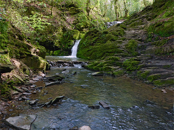
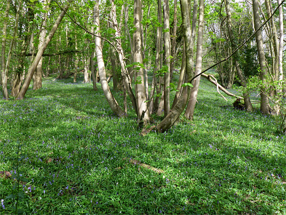
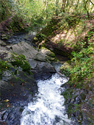
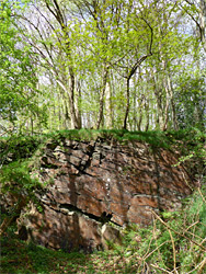
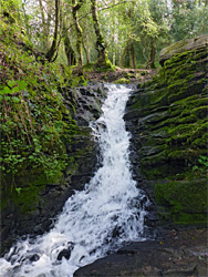
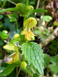
Stephen's Vale Nature Reserve covers a small area, just 1.5 acres, centred on a short stretch of stream in a sheltered, quite steep-sided valley, a tributary of Cam Brook to the south. The slopes of the valley are thickly wooded, and the ground is covered by bluebells and other wildflowers in spring, while the stream sustains a few insect species of note, but by far the best feature of the reserve is a pretty, two-stage waterfall, where the stream drops down about 15 feet over ledges in the reddish sandstone bedrock.
The reserve can be visited via an easy of walk of up to one mile, round trip, and is relatively popular. Like most woodland areas, there are far fewer flowers in summer after the canopy has closed in overhead, so spring is the best time to visit. Autumn is also good, when the leaves at their most colourful.
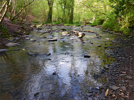
The nature reserve is approached via short footpaths, from the A39 at Hallatrow in the south, a minor road in the west, and via Long Lands valley in the northwest, but the recommended access is from the north, via a 0.4 mile path starting from a minor road (off Greyfield Road) at the edge of High Littleton, parking either at the junction with a side track, or at the south end of the track, this at the edge of Greyfield Wood, a sizeable plantation managed by the Woodland Trust. From here a wide trail continues south through the trees, descending 100 feet to the flat, grassy floor of Long Lands, containing a tiny stream. This joins a larger drainage from the northeast, which forms the waterfall just below the confluence, as it enters the vale, set between two areas of high ground, Highbury Hill to the west, and Stephen's Hill to the east. The valley only extends about 700 feet, before the land flattens out, and the stream continues through a wooded corridor for a short distance then meets Cam Brook. The waterfall can be viewed from all sides, and is most spectacular from below. The stream is usually just a few inches deep, flowing gently over a pebbly bed, though after heavy rainfall it can become much more forceful.