Holway Woods Nature Reserve protects two areas of ancient woodland along the steep, west-facing slopes of Holway Hill, 2 miles north of Sherborne in northwest Dorset. A previously treeless area in between was planted a few decades ago to create a continuous belt of wooded land, 0.7 miles north to south and 500 feet across at its widest point, and extending either side of the narrow, unnamed road between Holway village and the B3145.
The reserve may be explored via two paths, either side of the road, both partial loops, totalling just over a mile. A short connecting path links with the long distance Macmillan Way and Monarch Way.
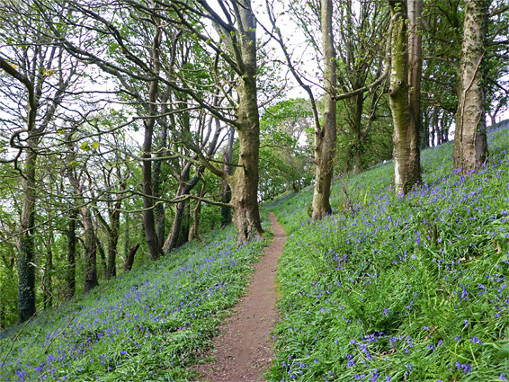
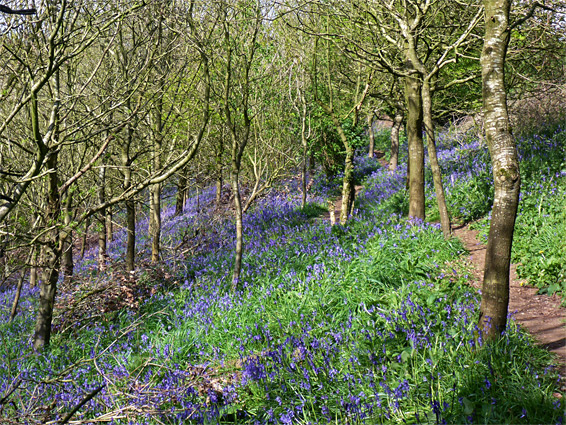
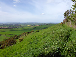
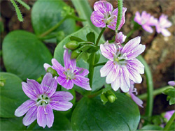
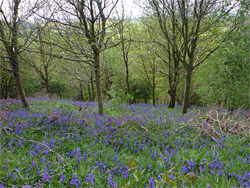
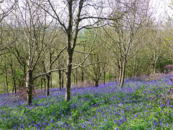
The woods are prettiest during springtime when the ground across the upper reaches is carpeted with innumerable bluebell flowers, and also in bloom are a good variety of other woodland species including dog violet, wood anemone, primrose, wood sorrel, wood speedwell and, in the north wood, an unusually plentiful array of pink purslane. Gaps in the trees allow good views west and north across the Somerset Levels towards Glastonbury Tor and the distant Mendip Hills. Butterflies and birds are the most visible wildlife, while mammals include roe dear, bats, foxes and, most widespread, badgers, whose sets can be seen in several places alongside the paths.
The lane to Holway from the B3145 climbs gently to a minor ridgetop then descends quite steeply into the village, through the woods, which were originally named Holway Ball Copse to the north, adjoining the road, and Holway Copse 1,000 feet south, now linked by the more recently planted trees. There is parking space for one or two vehicles near the east edge of the woods at the site of an old limestone quarry (rocks from the Inferior Oolite group), and more a little way downhill. Both paths start from the vicinity of the quarry; that to the north climbs a little and follows the high ground close to the eastern boundary, through the main bluebell area, across the most abundant patches of pink purslane and on to a viewpoint at the northern end, overlooking the Levels. It then descends via a couple of zig-zags and returns close to the western edge of the trees where the terrain is moister and the vegetation thicker, before meeting the road again, at the lower parking area. The southwards path also follows high ground through another extensive bluebell area, partly in the plantation and partly in the original wood, up to a junction with a short loop through the southernmost reaches.