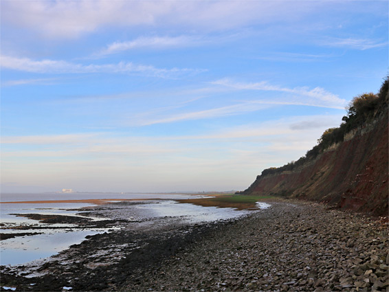
Aust, a small village beside the original Severn Bridge, is generally accepted as marking the upper limit of the Severn Estuary; the boundary between the sea and the river. The shoreline hereabouts is notable for Aust Cliff, a 0.7 mile-long exposure of layered sedimentary rocks, which span the Jurassic/Triassic boundary, and is a nationally important location (and a Site of Special Scientific Interest) for fossils, including insects, fish and marine reptiles.
The rocks are variously coloured red, green and grey, and the 130 foot high cliff provides quite a contrast with the otherwise flat expanse of mud and grass that borders the river to the north and south. A few much smaller rock exposures are found 3 miles south around Severn Beach, but the next more interesting section of the coast is 6 miles further at Portishead, on the far side of the River Avon.
The coast path (Severn Way) runs along the top of the cliff on the north side of the motorway then diverts inland to the south, but the base of the cliff and the foreshore are also easily accessed, the usual start point being at Old Passage to the south. One option for a longer walk, of 2 miles, is along the base of the cliff, under the bridge and across the grassland beyond, as far as Littleton Pill (a stream), the next shoreline location reachable by road.
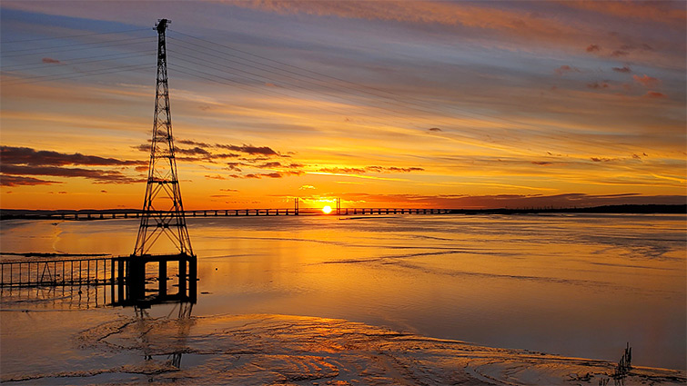
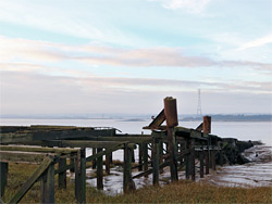
The tiny settlement of Old Passage is so named for being the original embarkation point for ferries across the Bristol Channel, established here since Roman times. There is plenty of parking space beside the coast, along a quiet road that to the south is a favoured location for free overnight parking, for people with caravans or motorhomes. From the south edge of Old Passage, a short side street (Aust Wharf Road) runs past a few houses and ends at the ruined buildings from the former Aust Ferry which closed in 1966 when the bridge opened; an overgrown structure from which a pier once extended nearly 1,000 feet northwest. Most has disappeared but the wooden supports survive around the high water mark, seen via a short walk across the muddy grassland. From the ruin, a concrete path continues north between a belt of trees and marshy reed beds then turns away to a gated pier leading to one of the two huge pylons that carry powerlines across the river, the longest such span in the UK, at 5,308 feet. A lesser path runs north a little way then merges with the mud and pebble beach beneath Aust Cliff. The lower and mid section of the cliff face is composed of red mudstones containing a few bands of white gypsum, then above is a narrower band of pale green mudstone, while the uppermost layers are darker and harder, mostly the Jurassic-era lias formation, and these contain all of the fossils, so finding specimens at the base is dependent on rockfalls from above. The cliff face is cut by eight minor faults, displacing the strata vertically by several feet.
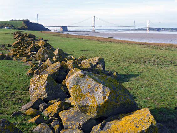
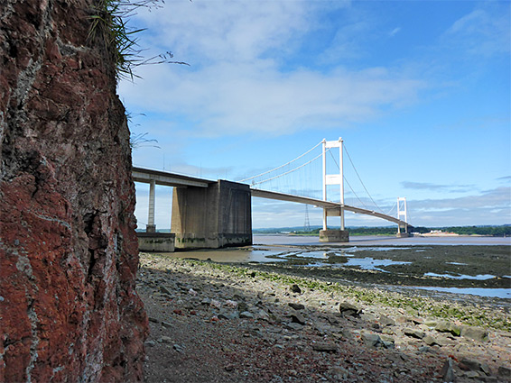
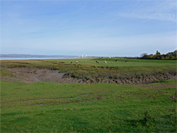
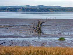
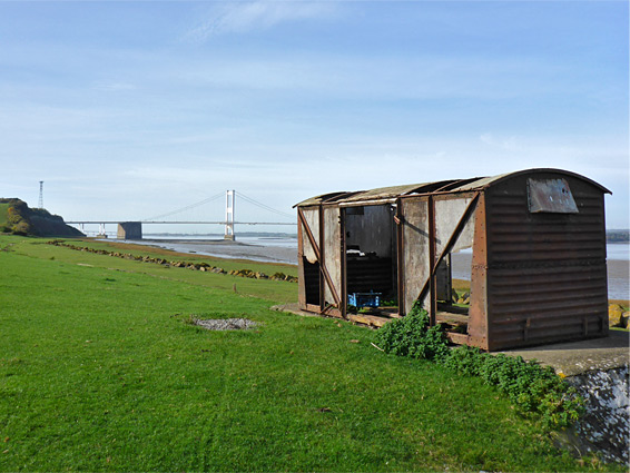
The Severn bridge provides a minor obstacle if continuing northwards since the beach at the base is partially blocked by one of the stone foundations, however this can be passed around low tide by walking below, over mud and rocks, or at all times via a short climb then walking across the top. Most people don't continue, however, and as there is no nearby road access, the northern section (about two thirds) of Aust Cliff, similar in appearance, is much less visited. The far end slopes down abruptly and is replaced by flat grassland, followed by the Severn Way, which to the south ascends to a viewpoint on top of the cliff, then passes over the M48 via a pedestrian bridge. Points of interest along the shoreline to the north, leading to Littleton Pill, include some boulder walls, an abandoned railway carriage and several ancient pier remnants, accompanied by good views of the bridge and the cliffs to the south.