Like the Great Traston Meadows a few miles west, Magor Marsh Nature Reserve contains a small surviving portion of the Gwent Levels, an extensive low-lying wetland area, much of which is below sea level, that once stretched all the way from Cardiff to Beachley at the mouth of the River Wye, but has in the last few centuries mostly been drained, the land used for agriculture and cattle grazing.
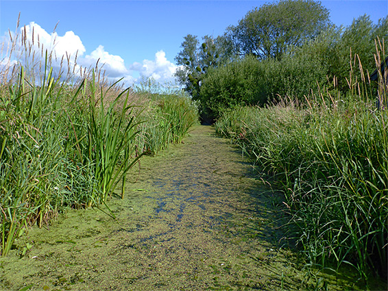
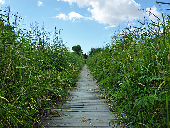
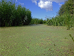
At Magor Marsh, 90 acres remains in a natural state, a mix of fen meadow, hay meadow, wet woodland, reedbeds, ditches, reens (slow-moving waterways) and a pond - a good variety of habitats in a relatively small area, and, unlike some marsh-based nature reserves, one easy to explore, by a network of boardwalk trails; this is a relatively developed site, though not at the expense of the natural habitats, and reserve also has an educational building (Derek Upton Centre), a bird hide and a series of informative notices along the various paths.
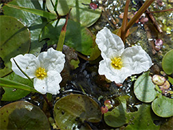
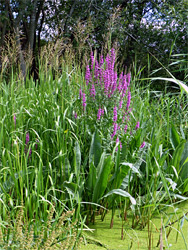
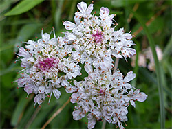
The nature reserve is good for birds all year, dragonflies, butterflies and other insects in the summer, and plants during the growing season, and while there are no especially rare wildflowers here, a wide range of aquatic and riparian species can be seen. Otters and water voles are also present.
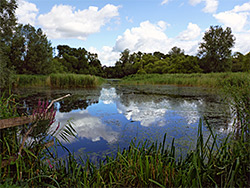
Water in the reserve is partially derived from a spring within the pond, and is moved along the ditches and reens via sluice gates in order to maintain levels appropriate for the various plants and animals.
Entry to Magor Marsh Nature Reserve is via a road (Whitewall) along its eastern edge, just south of the railway on the south side of Magor, and the parking area, beside the education centre, has space for a dozen or more vehicles. The other edges of the rectangular-shaped reserve are defined by the same road to the north, a track and embankment to the west and Pwll-Uffern Reen to the south, which links with several smaller reens and ditches, together enclosing four hay meadows and six areas of rough grassland, between which are patches of trees and, towards the northern end, the pond, most of which is surrounded by marsh and reedbeds so is quite inaccessible, viewable only from the bird hide overlooking its southern edge. About one mile of pathways and boardwalks cross the reserve, some wheelchair-accessible, while other areas can be explored by walking off-trail.