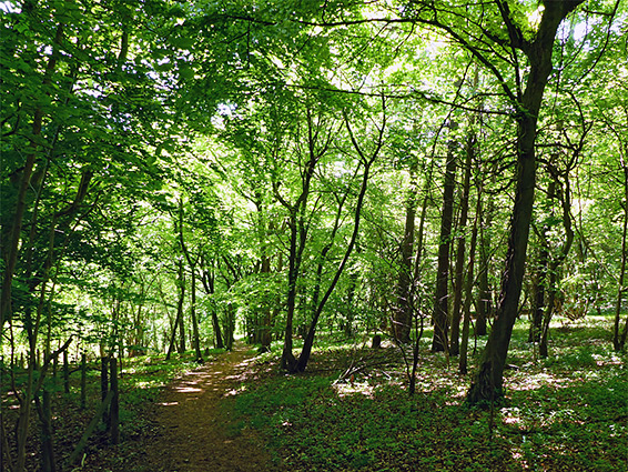
Named after Dr E.F. Warburg, a botanist from the University of Oxford, the 262 acre Warburg Nature Reserve was created in 1967, containing a sizable expanse of plantations and ancient beech woodland, either side of a dry valley in the Chiltern Hills, 4 miles north of Henley-on-Thames. The site is rather remote, reached by a narrow, bumpy road which ends at a house and parking area just inside the south edge of the wood, from where paths and tracks head off in several directions. The paths allow peaceful loop walks of 2 miles or more, out-of-sight of any development and beyond any traffic noise.
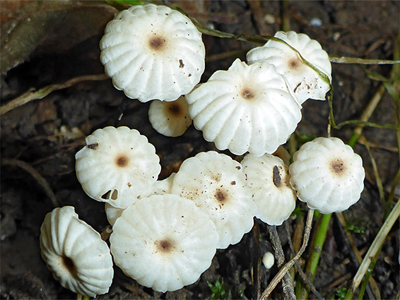
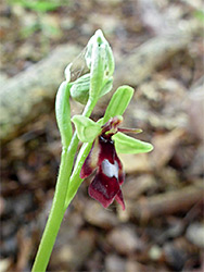
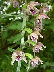
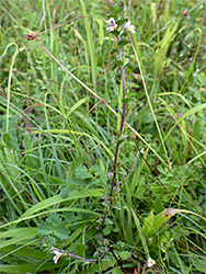
Within the trees are several meadows and patches of scrub, and these, together with the different aspects of the land - north and south facing, dry and moist, shaded and more open - result in many habitats and a great diversity of wildlife, including 900 species of fungi, 450 of moths and 15 of orchid, together with 450 other plant species.
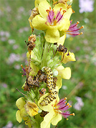
The wildflowers span three seasons, from wood anemones, primrose and bluebells in the spring, to autumn and Chiltern gentians late in the year, and even in winter the reserve is of interest, amongst other reasons for the unusually deep frosts that occur on account of the sheltered microclimate, created by still, clear air settling on the valley floor.
The nature reserve is accessed from the village of Bix - a country lane descends into the valley then follows this northwards, past a farm and the ruins of Bix Brand Old Church, gaining height gradually then entering the woods and reaching the parking place. The road becomes a track, no longer for public vehicles, crossing the centre of the reserve, still following the valley floor before exiting the far side of the woodland, continuing to the village of Nettlebed. Half way along the valley is a major junction, with a north-south track, Hatch Lane, which provides two alternative entry points to the reserve.
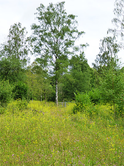
Near the parking place is a picnic area, buildings from the former Pages Farm, and a pond, where the unusual plant bogbean grows. To the north is a relatively recent area of woodland, all open pasture at the start of the 20th century, and still containing two areas of meadow, one a long, narrow strip once used as a rifle range, the target being at the east end, within the easternmost block of woodland in the reserve, Maidensgrove Scrubs, merging with Great Hill Plantation to the northwest. To the west, beyond Hatch Lane, is Big Ashes Plantation (late 19th century), containing another open area, Big Ashes Ride, while south of here are various other named woods; the largest, and oldest, at the centre of the valley, is Pagesbottom Wood. The southwest corner of the reserve has one more meadow, Stockings Glade, within Stockings Plantation, which also dates from the late 19th century.