Mixed, broad-leaved woodland on the opposite slopes of a dry valley, Cheston Combe; Badgers Wood to the south and Jubilee Stone Wood to the north, plus limestone grassland and the rim of a disused quarry
Backwell in north Somerset sits below the northwest face of a low limestone plateau opposite the mouth of Cheston Combe, one of six dry valleys that cut into the bedrock; a relatively small ravine, at most 100 feet deep, with mostly tree-covered slopes. A minor road runs through the combe dividing the trees into two sections - Jubilee Stone Wood to the north, named after an obelisk erected to celebrate the Diamond Jubilee of Queen Victoria in 1897, and the slightly larger Badgers Wood to the south.
Trees in the former are relatively recent, spreading during the last century, while some of those towards the lower (west) end of Badgers Wood are much older. Each wood is protected as a local nature reserve, managed by Backwell Environment Trust, acquired in 2005 and 2009 respectively, together forming a continuous band of broadleaf woodland and grassland around two thirds of a mile long and 500 feet across.
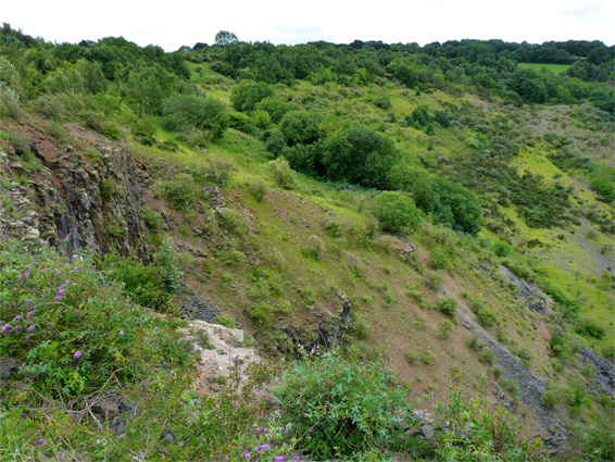
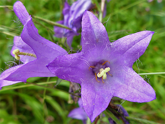
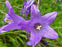
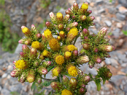
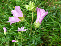
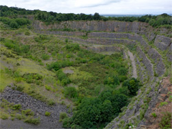
Jubilee Stone Wood contains a couple of historic structures, a ruined cottage and a lime kiln, while the Badgers Wood reserve also includes the rim of a disused quarry, which provides good viewpoints across the lowlands towards the Bristol Channel, while more general interest stems from the plants of the woods and meadows - fungi, ferns and wildflowers, with yellow bird's-nest the rarest of around 300 flowering plant species recorded here.
Vehicles can be parked along Church Town Road in Backwell, at the west end of Badgers Wood, but the usual starting place is by the east edge of Jubilee Stone Wood, on Backwell Hill Wood, at the entrance to a bridleway. This track leads through a narrow band of trees to an 800 foot-long meadow, containing the Jubilee Stone itself, on a minor summit affording long-distance views to the north. A parallel path to the south passes the foundations of an ancient warrener's cottage, inhabited when this area was not wooded, used instead to raise rabbits for food, and also, a little further west, a couple of ponds, dug in the last decade. The bridleway continues to the far end of the woods, which is slightly wider, with less undergrowth, and includes an open area that was once the site of a small lead mine, from the 17th century. A third industrial relic is a 19th century limekiln, close to the road, about half way through the wood.
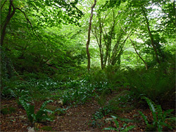
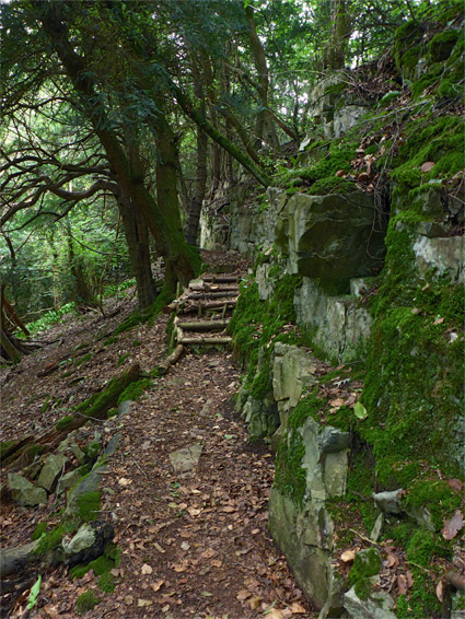
The two woods overlap for about half their length, and three paths link Jubilee Stone with Badgers, each climbing the south side of the valley to intersections with a lengthwise trail close to the far edge, which offers good views of the disused Coles Quarry, the rim of which also has some calcareous grassland, home to a different selection of wildflowers than the Jubilee Stone meadow. Two lower-level paths cross the western part of Badgers Wood - the Geology Trail, traversing some exposures of the Clifton Down Limestone which underlies all of the plateau, and Fern Way, along the moist floor of the valley where several species of fern grow profusely.