Extensive ancient woodland across the slopes of a limestone ridge, with seasonal streams lower down. A good selection of wildflowers; especially noted for bluebells in spring, and fungi in autumn
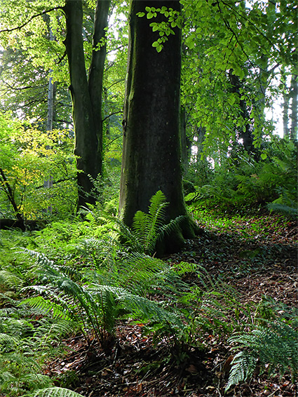
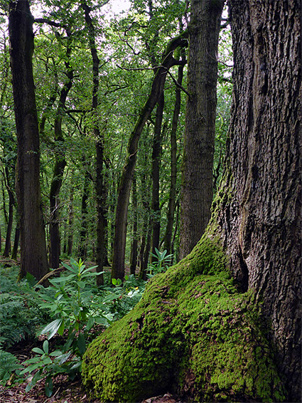
Prior's Wood Nature Reserve is a large (150 acre) expanse of ancient broad-leaved woodland, mostly hazel, oak, sweet chestnut and small-leaved lime, on a spur of the carboniferous limestone ridge that runs from Clevedon across to Leigh Woods and the Avon Gorge. The spur is quite narrow, and orientated north to south so most of the trees are across the sloping ground, facing west and east, and both sides are drained by small, seasonal streams flowing through the lower reaches.
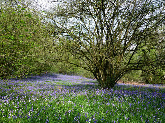
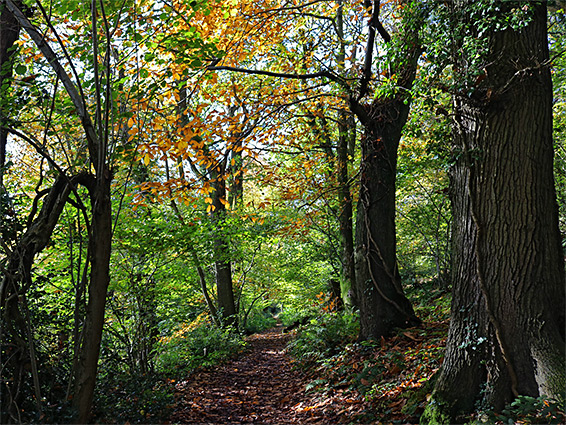
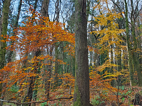
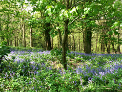
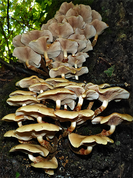
Besides the atmospheric old trees, and the good variety of plant and animal life, the reserve is most famous for its springtime display of bluebells, peaking in April and May; large areas have an especially dense covering, making all of the ground appear blue, and contrasting greatly with the lush green vegetation above. In other, moister places the white flowers of wild garlic grow equally profusely, while other commonly seen species include red campion, yellow archangel, lesser celandine and violet. Deer, badgers, hares and foxes inhabit the woods, together with a wide variety of birds. Autumn brings vibrant colours to the leaves, a rich array of fungi to the woodland floor.
The woodland rises above the Gordano Valley, along the east edge, and the higher ground offers fleeting views towards Portishead and the Bristol Channel. This area was once part of the Tyntesfield Estate, though its name refers to the time when the wood was owned by the monks of St Augustine's Abbey, later Bristol Cathedral, while the ridge was occupied much earlier by Celtic peoples, as shown by a series of ancient terraces towards the northern end.
The nature reserve, one of the most popular in the Bristol area, is entered from its northern tip, on the outskirts of Portbury village - along Caswell Lane, just as the road crosses the stream draining the east side of the ridge. There is no adjacent parking, and although some people leave vehicles in a layby a short distance west, this is intended only to be a passing place, so the alternative is to use the nearby residential streets. Peak bluebell season in late spring may see many hundreds of people visiting each day and no suitable parking spaces at all; the next nearest place is half a mile east, beside the A369 near the M5 junction. But for the rest of the year the reserve is much less busy, and its large size ensures that tranquillity is easy to find.
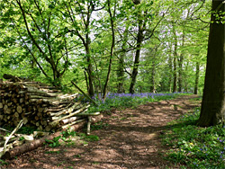
There are many paths and tracks through the woods including one major route north to south and another (the Gordano Round) crossing towards the far end, but the best way to see the woodland is a loop through the lower reaches of the trees on either side of the ridge, crossing over towards the south - a round trip of about 2 miles. The start is along the westernmost of the two approach paths, which first crosses a field then enters the trees, beside a noticeboard and map. Wild garlic is the most abundant plant initially, along the northwestern edge; the bluebells are concentrated along the western and northeastern sides, and in the far south. At the first junction, the path on the right descends slightly, down to one of the seasonal streams, which is followed southwards into probably the best of the bluebell regions, extending a third of a mile, then past an open, cleared area to another junction, this before another good bluebell patch, on sloping ground with little other vegetation between the trees. The valley containing the stream is known as Bullock's Bottom. Turning left (northeast) at this junction, the path crosses the creek again and climbs to the ridgetop, where the main route continues on the high ground, but is worth taking a diversion along a path to the right which descends a little to the east side of the ridge, through another extensive bluebell area, later crossing back over the crest and down some steps to a junction next to the entrance noticeboard.