High point along the west edge of the Cotswolds, with extensive views across the Severn valley; protected as a nature reserve, which also contains Nympsfield Long Barrow, a Neolithic burial chamber
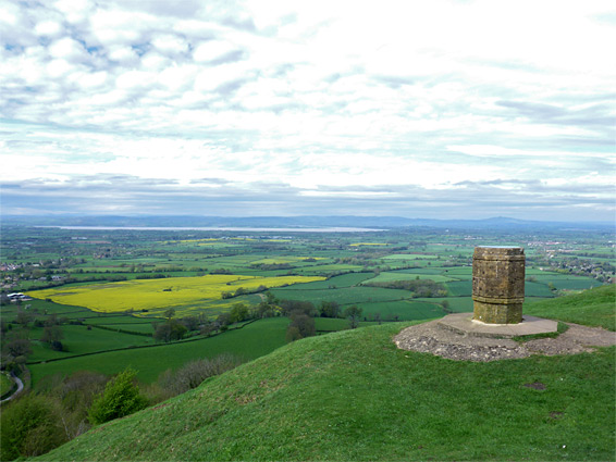
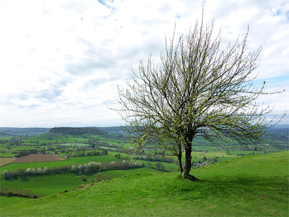
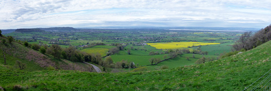
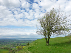
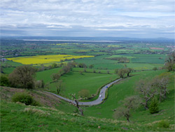
Coaley Peak is a small limestone summit at the west edge of the Cotswold Hills, elevation 764 feet (233 meters), along one of the steeper sections of the escarpment, where the land falls away by over 600 feet to the lowlands of the Vale of Berkeley. The views extend across the River Severn to the Forest of Dean, and, on a clear day, to the Brecon Beacons in south Wales. Most of the flat, grassy land around the peak is part of a nature reserve, though as this was formally an agricultural area, wildflower species are limited, and it is the panoramic vista, mostly unobscured by trees, that provides the main reason to visit. The site is also a popular location for picnics and kite flying.
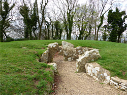
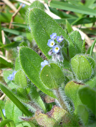
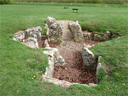
Plant life is a little more varied in the rougher, uncultivated grassland on the slopes below, part of which, to the southwest, is owned by the National Trust. The main western slope is privately owned, though seemingly accessible to hang gliders. One other notable feature, on the north side of the reserve, is the Nympsfield Long Barrow, a Neolithic burial site constructed about 5,000 years ago, and managed by English Heritage.
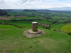
The large, free parking area for the reserve is along the B4066, 4 miles southwest of Stroud, close to the junction with a lesser road from the northwest, winding up Frocester Hill. The protected area is a narrow strip of grassland, a third of a mile long and 12 acres in area, with the best views in the southern part, as to the north the land is bordered by a beech plantation, owned by the Woodland Trust. The Cotswold Way passes through the nature reserve, continuing into the adjacent National Trust property where it passes an octagonal marker on the peak itself, identifying various distant landscape features. The burial chamber is in the northern section of the reserve, and despite its historical importance is not so interesting to look at, consisting of about a two dozen limestone blocks defining an entrance passage leading to a central chamber, with three smaller chambers forming a cross-shape, all surrounded by a large mound, 100 by 80 feet in dimensions. Excavations have been carried out on three occasions, revealing at least 20 human skeletons and assorted pottery fragments.