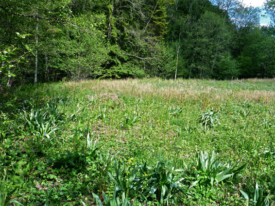
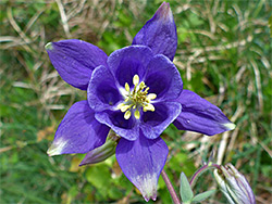
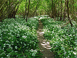
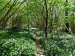
Pentaloe Glen and Convallaria Area is one of the least visited nature reserves in Herefordshire since it is not signposted, seemingly not marked by any notice, and lies 1.2 miles from the nearest main road, reached by tracks through Haugh Wood, a large forestry plantation. The main component of the reserve, Pentaloe Glen, is centred on a patch of fen vegetation in a clearing near the foot of a slope, adjacent to Pentaloe Brook, a small stream flowing through a sheltered valley with semi-natural woodland, while the Convallaria Area encompasses part of the edge of the wood. The most notable wildflowers, in the fen, are fragrant orchid and marsh helleborine, while the woodland has more typical species like bluebell and wild garlic.
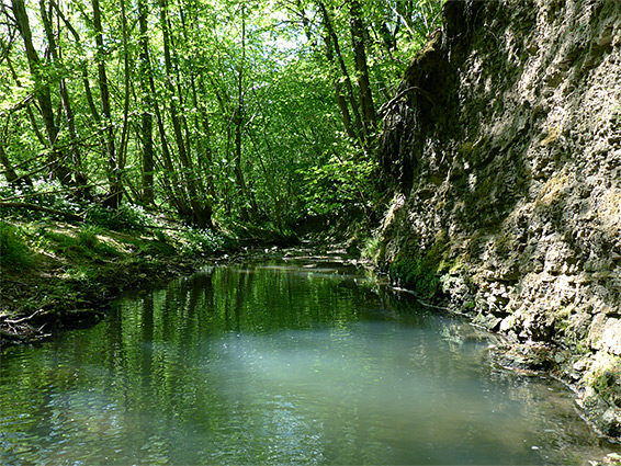
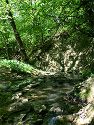
Although most of Haugh Wood, extending across all sides of a broad, flat-topped hill, is not so distinctive, the riparian corridor along the brook is quite scenic, the waters flowing over limestone rocks and in places forming small tufa deposits, so although the reserve is quick to explore, more time could be spent following the stream. Another reserve in the wood, along its southern edge, is Rudge End Quarry.
The main parking area for Haugh Wood is in the middle of the plantation, along the road between Mordiford and Woolhope, 5 miles east of Hereford town centre. From here, the route to the nature reserve is north for 0.3 miles to a four-way junction, then left along a wider track that later curves back north round a wide bend and gradually descends through the trees, mainly conifers. 0.8 miles from the junction, the track, having descended into the valley of Pentaloe Brook, cuts abruptly to the south, now running close to stream. The Pentaloe Glen fen lies 600 feet south of the sharp bend, downhill, though this is unmarked, and not reached by any path. The springs sustain a small boggy area, where most of the plants grow; the waters seep further downhill into the brook, flowing close by beyond a narrow belt of trees. The stream itself is easiest explored via a lesser path which follows mostly on the opposite (west) side, branching off the track a short distance south of the fen.