Wildflower-rich chalk grassland on west-facing slopes at the edge of a plateau, centred on an Iron Age hillfort (Oliver's Castle), site of a Civil War battle
Management
None - open access land
Location
End of a lane on the north side of Roundway, 2 miles from Devizes; SN10 2GR
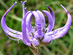
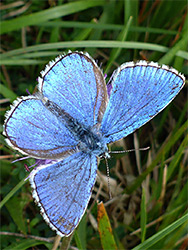
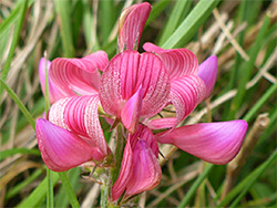
Roundway Down is an area of sloping, west-facing, ungrazed chalk grassland two miles north of Devizes in Wiltshire, part of the North Wessex Downs Area of Outstanding Natural Beauty and also of the Roundway Down and Covert Site of Special Scientific Interest, which incorporates a wooded part of the escarpment to the south and a grassy promontory (Beacon Hill) to the north. All this area has grand views westwards, and the short grass slopes are habitat for many species of wildflower which in turn attract a good range of insects, including over 30 types of butterfly.
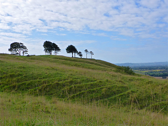
The down is also notable for being the site of an Iron Age hillfort, and the location of a Civil War battle, on 13th July 1643, when a Royalist army of around 1,800 comprehensively defeated a Parliamentary force nearly three times in number, on account of which the hillfort became known as Oliver's Castle after the Royalist leader Oliver Cromwell. Nothing remains from the battle but the fort is still prominent, and the downland is easily explored from a path across the higher ground or by walking across the slopes below.
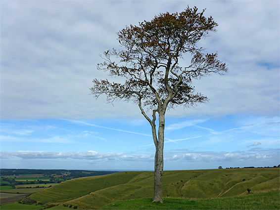
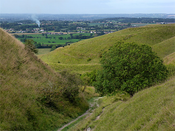
Roundway Down is reached by a country lane, partly unpaved, forking north off Folly Road on the north side of Roundway village, climbing a slope, turning left at the first junction and parking where the track turns abruptly east, in front of a patch of woodland. This is Roundway Hill Covert, which makes up the southernmost part of the SSSI - 68 acres of deciduous trees, mostly ash, plus beech, hazel, silver birch and wych elm, followed by a one mile trail. Another path crosses the northern tip of the woodland, emerging from the trees to the grassland, then running along the level rim of the escarpment to the hillfort, an approximately triangular enclosure 500 feet across, lined by embankments, with a few photogenic, isolated trees along its north edge. The path continues northwards above the main part of the down and around a broad valley to the southern slopes of Beacon Hill, the northernmost component of the SSSI. A sunken lane leads down the valley and the slopes on either the side are split by several smaller ravines, all particularly good for wildflowers.