12,000 acres of beech and other trees on an ancient woodland site, originally a royal hunting forest. Good for spring bluebells, autumn leaves and fungi
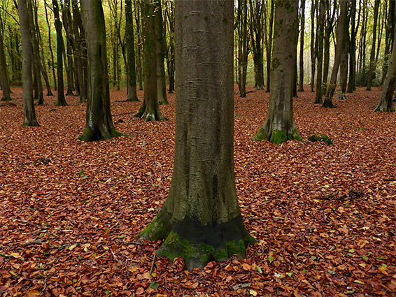
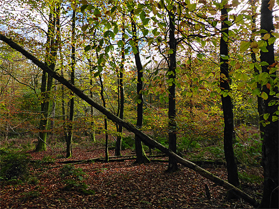
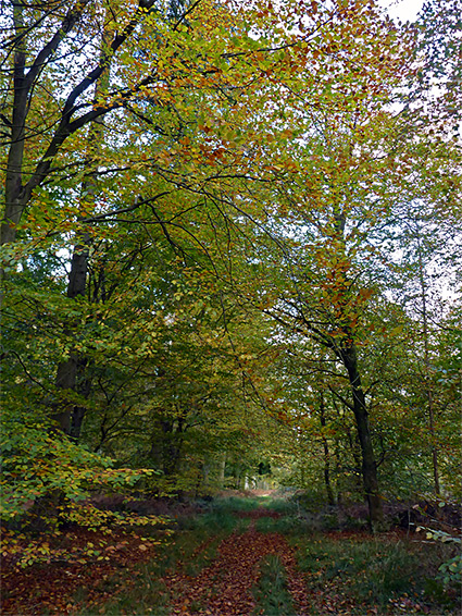
Two miles southwest of Marlborough, the 12,000 acre West Woods are a contiguous group of around 20 separately named woods and copses, all ancient in origin, the land having been continually wooded for many centuries, though virtually all the current trees are relatively recent, after the whole area was clear-felled for timber in 1928, replaced with beech (around 75%) plus sycamore, birch, ash and a few conifer species including pine and red cedar. In a few places oak and hazel are found, these self-seeded descendants from the original (coppiced) forest.
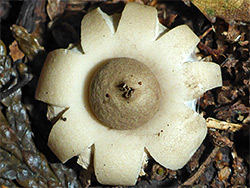
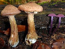
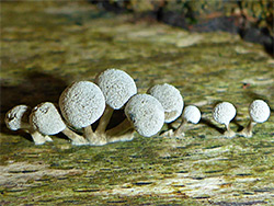
As far back as the 14th century the woods were part of a more extensive royal hunting forest that included Savernake, on the east side of Marlborough, and they contain a wide range of ancient woodland indicator wildflower species, most abundant the bluebells which cover huge areas of the ground in April and May. The woodland is also very good for fungi, and for leaf colours in the autumn.
The woodland contains several ancient relics, most visibly a one-mile section of the Wansdyke, a linear defensive structure, a ditch and embankment, dating from around the fifth century, part of its eastern segment, which runs from Savernake to Morgan's Hill. Nearby, close to the south edge of the wood, is a Neolithic long barrow, over 100 feet long, and also a number of flint pits. The wood is centred on a shallow dry valley, and part of this is littered with numerous sarsen stones; this location has recently been identified as one of the sources for the sarsens used to construct Stonehenge, 16 miles south.
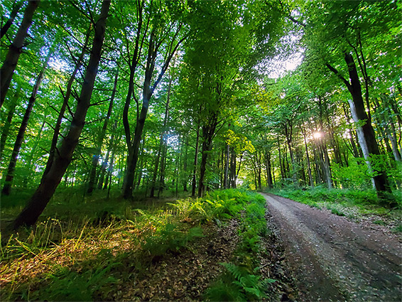
The West Woods are managed by Forestry England, are open all year without restrictions, and are provided with a large, secluded, free car park, a quarter of a mile down a gravel track off the access road, an unnamed lane south of Clatford village. The track divides just beyond a gate, and many other pathways access all areas of the woods, which are spread across two north-facing spurs off an area of high ground to the south, sloping down towards the River Kennet to the north, and divided by the shallow, branched valley (Hursley Bottom), the lower portion of which contains the sarsen stones. Beech plantations cover most of the land, with just a few patches of conifers, mainly towards the south.