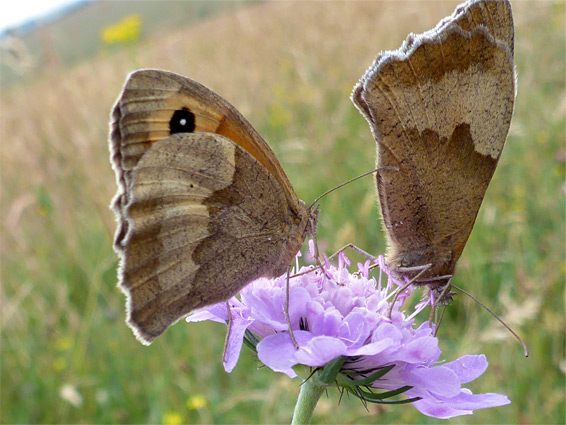
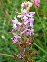
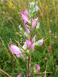
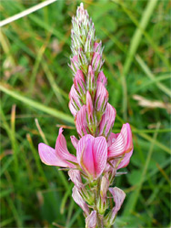
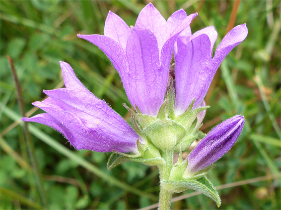
Parsonage Down is one of four national nature reserves in the chalk downland of Wiltshire, containing calcareous grassland and many species of wildflowers - there are more than 150 in this location, including at least five types of orchid; pyramidal, fragrant, green-winged, frog and burnt-tip, though not all of these are widespread. The site is somewhat larger than the average county nature reserve, covering 680 acres, and all is also part of a working farm; about a third is used to grow crops, while the remainder is the grassland, and this is grazed by cattle and sheep. The arable section is closed to the public but the remainder is open without restrictions, all year, however the site is not much visited, partly as it lies away from main roads, and the designated access, from the west, is via a bumpy track that generally requires a high clearance vehicle.
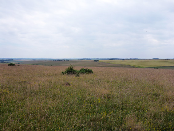
The highest section, 500 feet in elevation, is near the west edge, and this is also the location of a small Iron Age camp; from here the land slopes down eastwards to a minor valley then rises on the far side to a low ridge. The overall landscape is pretty without being spectacular, and the views extend a long distance, across gently undulating hills and valleys. Late May to early July is the preferred time to visit, in order to see some of the orchids and other rare species, such as early gentian and field fleawort.
The reserve entrance is 0.7 miles along a bumpy, rutted track on the north side of the A303, 2.2 miles northeast of the A36 junction near Wylye. The track passes close to the concentric embankments of Yarnbury Castle, an Iron Age hill fort covering nearly 30 acres, though neither this nor the nature reserve are signposted at the turning. Low clearance vehicles may have to be left at the junction, but otherwise, parking for the reserve is after 0.6 miles, at a five-way intersection. One of the onward tracks is open to military vehicles only, this being in the vicinity of one of the practice zones of Salisbury Plain.
The Reserve
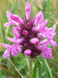
The reserve entrance is just beyond the intersection, from where a path runs to the east, initially along the edge of the hill camp, a structure associated with the much larger castle, though now barely recognisable. This is reportedly the best location for wildflowers in the whole reserve, mingling with the long grass and patches of scrub and trees that extend a little way northeast. The remainder of the reserve is almost entirely grassland, grazed in sections at various times of the year, and is not always so rich with wildflowers. Some parts of the slopes are dotted with ancient anthills, which sustain a few different plants, in particular wild thyme and common rock-rose. Other species found here include squinancywort, dropwort, spiny restharrow, common sainfoin, clustered bellflower, hoary ragwort, small scabious, salad burnet and lady's bedstraw.